


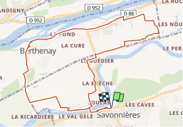
Savonnières - les Varennes Berthenay - 13.1km 65m 2h30 - 2007 04 15

Orcal37
User GUIDE

Length
12.9 km

Max alt
51 m

Uphill gradient
65 m
Km-Effort
13.8 km

Min alt
38 m

Downhill gradient
65 m
Boucle
Yes
Creation date :
2022-09-25 17:32:39.915
Updated on :
2022-09-26 14:36:00.091
2h30
Difficulty : Easy

FREE GPS app for hiking
 SityTrail
IGN / Geographical institutes
SityTrail Plus
The world is yours!
About
Trail Walking of 12.9 km to be discovered at Centre-Loire Valley, Indre-et-Loire, Savonnières. This trail is proposed by Orcal37.
Description
Savonnières - les Varennes Berthenay - 13.1km 65m 2h30 - 2007 04 15.
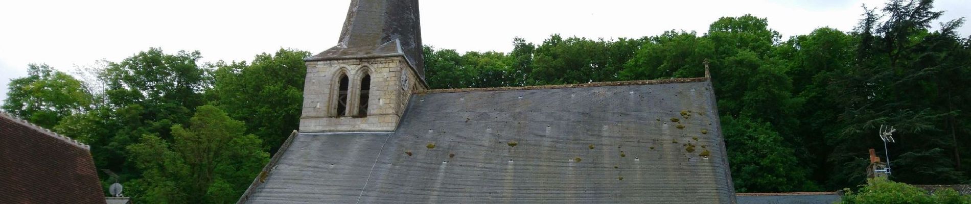
Photo église Savonnières.
Photos

Positioning
Country:
France
Region :
Centre-Loire Valley
Department/Province :
Indre-et-Loire
Municipality :
Savonnières
Location:
Unknown
Start:(Dec)
Start:(UTM)
314955 ; 5246823 (31T) N.
Comments