


brusque

CASSISFRAMBOISE
User
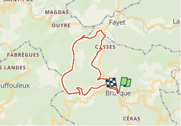

Length
15.7 km

Max alt
984 m

Uphill gradient
689 m
Km-Effort
25 km

Min alt
430 m

Downhill gradient
687 m
Boucle
Yes
Creation date :
2022-09-27 07:15:44.558
Updated on :
2022-09-27 12:52:17.989
4h06
Difficulty : Medium

FREE GPS app for hiking
 SityTrail
IGN / Geographical institutes
SityTrail Plus
The world is yours!
About
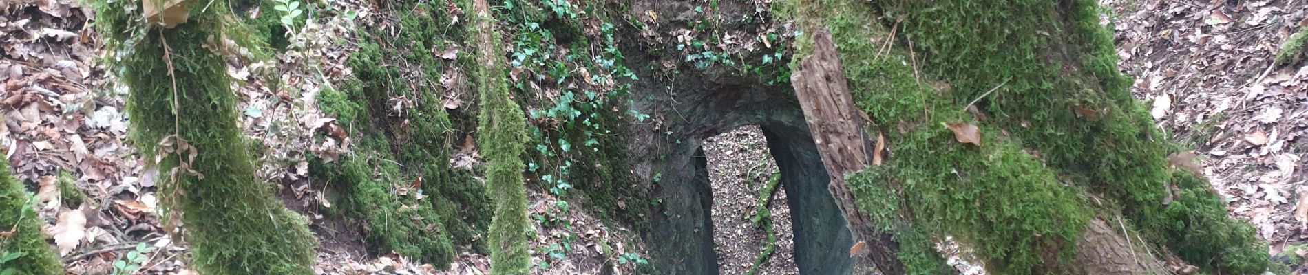
Trail Walking of 15.7 km to be discovered at Occitania, Aveyron, Brusque. This trail is proposed by CASSISFRAMBOISE.
Photos

Positioning
Country:
France
Region :
Occitania
Department/Province :
Aveyron
Municipality :
Brusque
Location:
Unknown
Start:(Dec)
Start:(UTM)
495935 ; 4846033 (31T) N.
Comments