


le malmont Draguignan

Michel DUBOIS
User
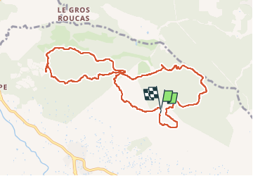

Length
11.7 km

Max alt
602 m

Uphill gradient
430 m
Km-Effort
17.4 km

Min alt
369 m

Downhill gradient
422 m
Boucle
Yes
Creation date :
2022-09-30 08:02:40.092
Updated on :
2022-09-30 13:14:38.319
3h29
Difficulty : Medium

FREE GPS app for hiking
 SityTrail
IGN / Geographical institutes
SityTrail Plus
The world is yours!
About
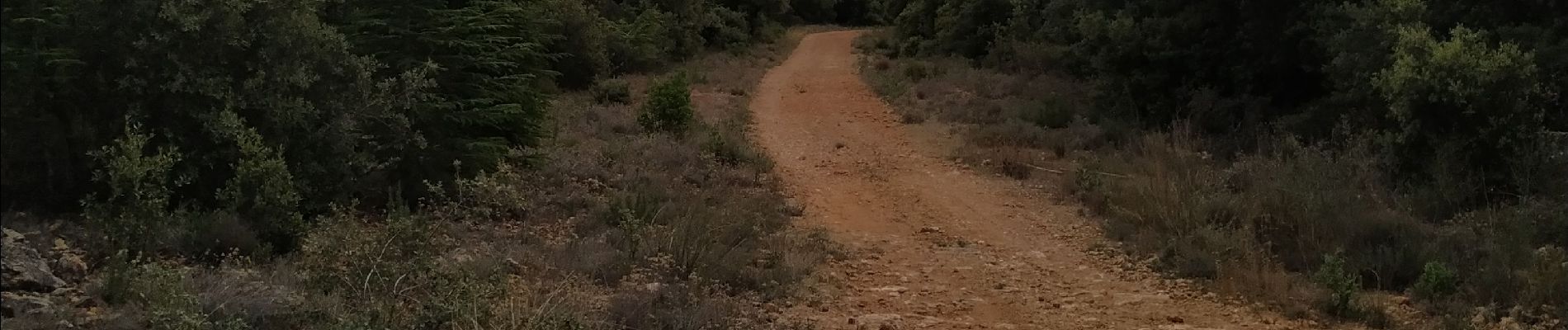
Trail Walking of 11.7 km to be discovered at Provence-Alpes-Côte d'Azur, Var, Draguignan. This trail is proposed by Michel DUBOIS.
Photos


Positioning
Country:
France
Region :
Provence-Alpes-Côte d'Azur
Department/Province :
Var
Municipality :
Draguignan
Location:
Unknown
Start:(Dec)
Start:(UTM)
295303 ; 4825720 (32T) N.
Comments