


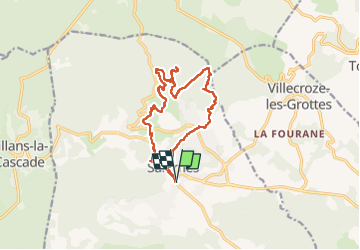
St Barthélémy-Salernes-30-09-22

Christiancordin
User

Length
16.5 km

Max alt
452 m

Uphill gradient
459 m
Km-Effort
23 km

Min alt
210 m

Downhill gradient
457 m
Boucle
Yes
Creation date :
2022-09-30 07:31:00.994
Updated on :
2022-10-16 17:19:21.531
4h12
Difficulty : Medium

FREE GPS app for hiking
 SityTrail
IGN / Geographical institutes
SityTrail Plus
The world is yours!
About
Trail Walking of 16.5 km to be discovered at Provence-Alpes-Côte d'Azur, Var, Salernes. This trail is proposed by Christiancordin.
Description
Pk cimetière de Salernes-tour de la ville-la Tuilière-Picaillau-vallon de la Brague-chapelle St Barthélémy-tombe mégalithique de la Lauve-pont du Gourgaret.
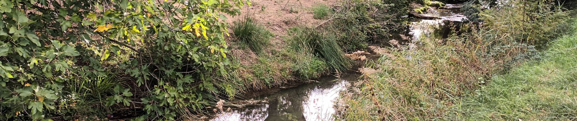
Photos


Positioning
Country:
France
Region :
Provence-Alpes-Côte d'Azur
Department/Province :
Var
Municipality :
Salernes
Location:
Unknown
Start:(Dec)
Start:(UTM)
276595 ; 4826751 (32T) N.
Comments