Trail Road bike Saint-Henri-de-Taillon - pointe du Tallion Canada  - Photo
 Maca8284
Maca8284

User

© OpenStreetMap contributors
Length
Length
45 km
Max alt
Max alt
122 m
Uphill gradient
Uphill gradient
246 m
Km-Effort
Km-Effort  
48 km
Min alt
Min alt
96 m
Downhill gradient
Downhill gradient
246 m
Boucle
Boucle
Yes
Creation date :
2022-09-30 13:46:22.202
Updated on :
2022-10-03 15:19:47.998

(0 Reviews)

Road bike
Road bike
3h16
Difficulty : Very easy

Scan this QR Code to open this trail in the SityTrail application

FREE GPS app for hiking

Logo SityTrail SityTrail

IGN / Geographical institutes

Download SityTrail from the App Store Download SityTrail from Google Play

Logo SityTrail SityTrail World

The world is yours!

Download SityTrail from the App Store Download SityTrail from Google Play Download SityTrail on Huawei AppGallery

About

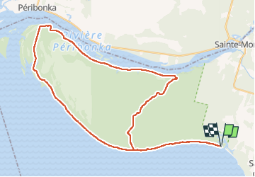
Trail Road bike of 45 km to be discovered at Quebec, Lac-Saint-Jean-Est, Saint-Henri-de-Taillon. This trail is proposed by Maca8284.

Elevation profile

Positioning

Country:
Canada
Region :
Quebec
Department/Province :
Lac-Saint-Jean-Est
Municipality :
Saint-Henri-de-Taillon
Location:
Unknown
Start:(UTM)
288452 ; 5395552 (19U) N.

Trails nearby

Trail Cycle Saint-Henri-de-Taillon - Wikiloc - Parc national de Pointe-Taillon - Photo
Cycle
GUIDE
Alizée.pee

Cycle

Easy
Saint-Henri-de-Taillon, Quebec, Lac-Saint-Jean-Est, Canada
29 km | 31 km-effort
2h 30min
No
Trail Hybrid bike Saint-Henri-de-Taillon - pointe taillon - Photo
Hybrid bike
aldaus

Hybrid bike

Very easy
Saint-Henri-de-Taillon, Quebec, Lac-Saint-Jean-Est, Canada
40 km | 43 km-effort
3h 27min
Yes
Trail Walking Saint-Henri-de-Taillon - vieille ecole - Photo
Walking
aldaus

Walking

Easy
Saint-Henri-de-Taillon, Quebec, Lac-Saint-Jean-Est, Canada
4.3 km | 4.6 km-effort
1h 15min
Yes


Close
My subscriptions