


GR128. Tielt-Deinze

Ronalddef
User
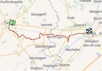

Length
23 km

Max alt
40 m

Uphill gradient
128 m
Km-Effort
25 km

Min alt
-1 m

Downhill gradient
152 m
Boucle
No
Creation date :
2022-10-04 07:44:40.083
Updated on :
2022-10-04 14:06:42.487
4h47
Difficulty : Very difficult

FREE GPS app for hiking
 SityTrail
IGN / Geographical institutes
SityTrail Plus
The world is yours!
About
Trail Walking of 23 km to be discovered at Flanders, West Flanders, Tielt. This trail is proposed by Ronalddef.
Description
Ook Martinus pad
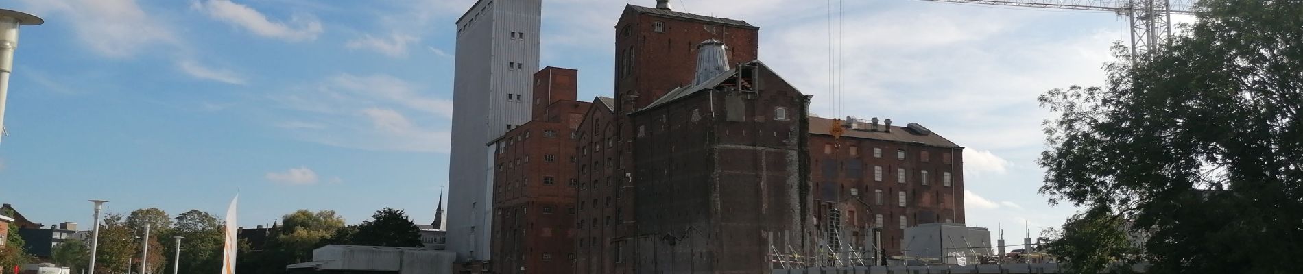
Photos


Positioning
Country:
Belgium
Region :
Flanders
Department/Province :
West Flanders
Municipality :
Tielt
Location:
Tielt
Start:(Dec)
Start:(UTM)
523141 ; 5648834 (31U) N.
Comments