


Termes

caccini
User
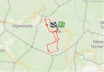

Length
13.5 km

Max alt
608 m

Uphill gradient
590 m
Km-Effort
21 km

Min alt
246 m

Downhill gradient
591 m
Boucle
Yes
Creation date :
2022-10-06 07:10:12.772
Updated on :
2022-10-06 14:13:16.223
5h39
Difficulty : Medium

FREE GPS app for hiking
 SityTrail
IGN / Geographical institutes
SityTrail Plus
The world is yours!
About
Trail Walking of 13.5 km to be discovered at Occitania, Aude, Termes. This trail is proposed by caccini.
Description
Randonnée
Positioning
Country:
France
Region :
Occitania
Department/Province :
Aude
Municipality :
Termes
Location:
Unknown
Start:(Dec)
Start:(UTM)
464587 ; 4761007 (31T) N.
Comments