


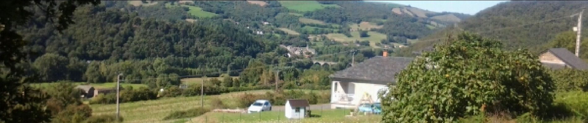
sentier des sources trebas les bains

jpbvava
User
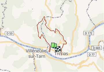

Length
6.5 km

Max alt
419 m

Uphill gradient
213 m
Km-Effort
9.3 km

Min alt
213 m

Downhill gradient
203 m
Boucle
No
Creation date :
2014-12-10 00:00:00.0
Updated on :
2014-12-10 00:00:00.0
2h42
Difficulty : Medium

FREE GPS app for hiking
 SityTrail
IGN / Geographical institutes
SityTrail Plus
The world is yours!
About
Trail Walking of 6.5 km to be discovered at Occitania, Tarn, Trébas. This trail is proposed by jpbvava.
Photos


Positioning
Country:
France
Region :
Occitania
Department/Province :
Tarn
Municipality :
Trébas
Location:
Unknown
Start:(Dec)
Start:(UTM)
457942 ; 4865778 (31T) N.
Comments