


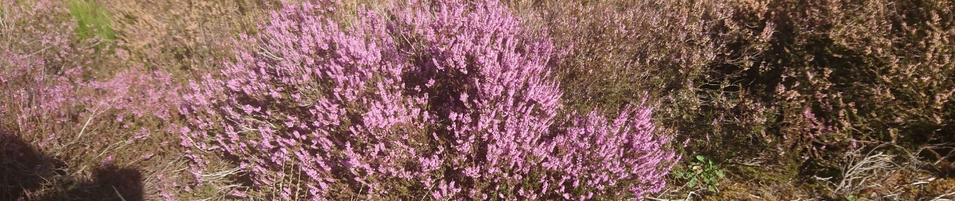
les grands feullards

jacques mag
User
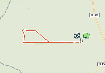

Length
6.2 km

Max alt
145 m

Uphill gradient
44 m
Km-Effort
6.8 km

Min alt
122 m

Downhill gradient
42 m
Boucle
Yes
Creation date :
2022-10-07 07:37:28.465
Updated on :
2022-10-07 09:41:49.263
2h03
Difficulty : Very easy

FREE GPS app for hiking
 SityTrail
IGN / Geographical institutes
SityTrail Plus
The world is yours!
About
Trail Walking of 6.2 km to be discovered at Ile-de-France, Seine-et-Marne, Fontainebleau. This trail is proposed by jacques mag.
Photos


Positioning
Country:
France
Region :
Ile-de-France
Department/Province :
Seine-et-Marne
Municipality :
Fontainebleau
Location:
Unknown
Start:(Dec)
Start:(UTM)
472098 ; 5358106 (31U) N.
Comments