


GR5A Temse-Antwerpen

Ronalddef
User
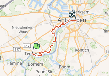

Length
34 km

Max alt
32 m

Uphill gradient
237 m
Km-Effort
37 km

Min alt
-4 m

Downhill gradient
228 m
Boucle
No
Creation date :
2022-10-08 06:02:35.169
Updated on :
2022-10-08 13:06:06.7
6h01
Difficulty : Very difficult

FREE GPS app for hiking
 SityTrail
IGN / Geographical institutes
SityTrail Plus
The world is yours!
About
Trail Walking of 34 km to be discovered at Flanders, East Flanders, Temse. This trail is proposed by Ronalddef.
Description
Mooi natuur. Van station naar station.
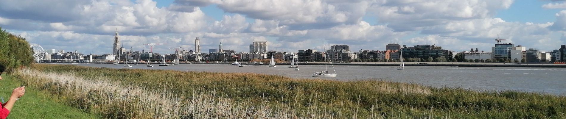
Photos


Positioning
Country:
Belgium
Region :
Flanders
Department/Province :
East Flanders
Municipality :
Temse
Location:
Temse
Start:(Dec)
Start:(UTM)
585470 ; 5664607 (31U) N.
Comments