


Beulotte Saint Laurent

JeanPierreNancy
User
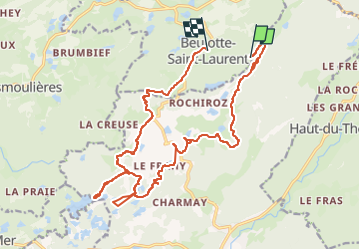

Length
21 km

Max alt
723 m

Uphill gradient
329 m
Km-Effort
26 km

Min alt
540 m

Downhill gradient
430 m
Boucle
No
Creation date :
2022-10-10 09:46:42.579
Updated on :
2022-10-10 18:16:43.588
5h01
Difficulty : Medium

FREE GPS app for hiking
 SityTrail
IGN / Geographical institutes
SityTrail Plus
The world is yours!
About
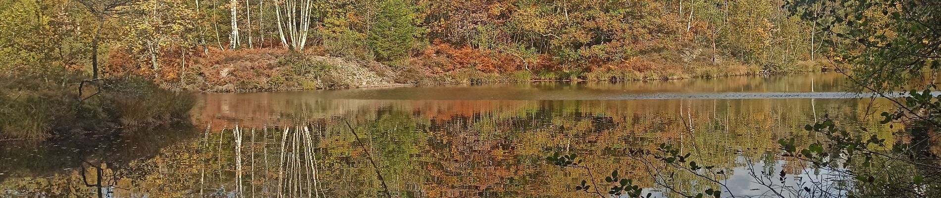
Trail Mountain bike of 21 km to be discovered at Bourgogne-Franche-Comté, Haute-Saône, Beulotte-Saint-Laurent. This trail is proposed by JeanPierreNancy.
Photos


Positioning
Country:
France
Region :
Bourgogne-Franche-Comté
Department/Province :
Haute-Saône
Municipality :
Beulotte-Saint-Laurent
Location:
Unknown
Start:(Dec)
Start:(UTM)
327407 ; 5303192 (32T) N.
Comments