10.3 km | 14.1 km-effort
Signal de Mailhlebiau hiver
CASSISFRAMBOISE
User
Length
22 km
Max alt
1467 m
Uphill gradient
539 m
Km-Effort
29 km
Min alt
1235 m
Downhill gradient
540 m
Boucle
Yes
Creation date :
2022-10-10 18:54:46.023
Updated on :
2022-10-10 18:57:27.846
6h34
Difficulty : Very difficult
FREE GPS app for hiking
About
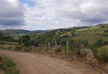
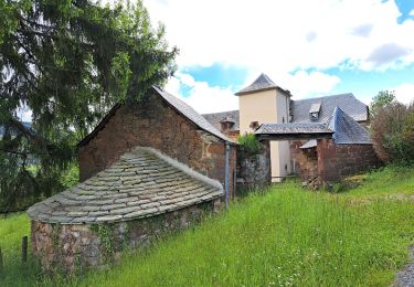
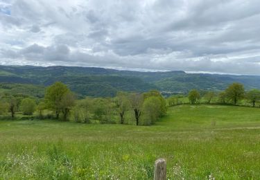
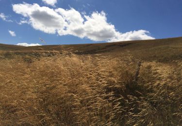
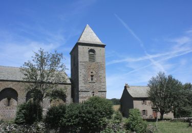
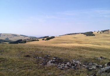
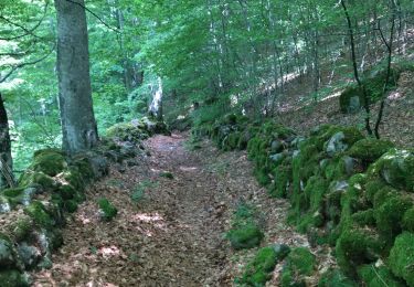
Trail Walking of 22 km to be discovered at Occitania, Lozère, Trélans. This trail is proposed by CASSISFRAMBOISE.
Description
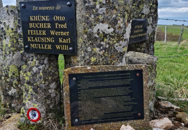
en partant en bas, donc ferme de la Plagnes, pour être vers 13 h au resto le " Relais du lac" de bonnecombe
Positioning
Country:
France
Region :
Occitania
Department/Province :
Lozère
Municipality :
Trélans
Location:
Unknown
Start:(Dec)
Start:(UTM)
507858 ; 4932009 (31T) N.
Comments
Trails nearby
Trélans Aubrac - Croix du Pal
Nordic walking
Easy
(1)
Trélans,
Occitania,
Lozère,
France
2h 30min
Yes
Mon chemin de St Guilhem étape 4
Walking
Medium
Trélans,
Occitania,
Lozère,
France
19 km | 26 km-effort
5h 31min
No
Étape 4 Saint Gilhem
Walking
Very difficult
Trélans,
Occitania,
Lozère,
France
19.1 km | 26 km-effort
6h 7min
No
Rando Lozère.. Rajas..Malailhebiai.
Walking
Very difficult
Les Hermaux,
Occitania,
Lozère,
France
20 km | 26 km-effort
4h 4min
Yes
Autour de maillebiau bonnecombes rajas
Walking
Medium
Les Salces,
Occitania,
Lozère,
France
17.1 km | 22 km-effort
4h 23min
Yes
Tour des Monts d'Aubrac - Du refuge des Rajas à Nasbinals
Walking
Medium
Les Salces,
Occitania,
Lozère,
France
22 km | 28 km-effort
5h 30min
No
Signal de Mailhebiau
Walking
Medium
Les Hermaux,
Occitania,
Lozère,
France
21 km | 27 km-effort
4h 45min
Yes
rajas st chely
Walking
Medium
Les Salces,
Occitania,
Lozère,
France
19.4 km | 24 km-effort
7h 27min
No