Trail Nordic walking Taxenne - Taxenne - Vitreux - Rouffange - Photo

Taxenne - Vitreux - Rouffange

 albert39
albert39

User

© OpenStreetMap contributors
Length
Length
10.7 km
Max alt
Max alt
364 m
Uphill gradient
Uphill gradient
311 m
Km-Effort
Km-Effort  
14.9 km
Min alt
Min alt
209 m
Downhill gradient
Downhill gradient
310 m
Boucle
Boucle
Yes
Creation date :
2014-12-10 00:00:00.0
Updated on :
2014-12-10 00:00:00.0

(1 Reviews)

Nordic walking
Nordic walking
2h43
Difficulty : Medium

Scan this QR Code to open this trail in the SityTrail application

FREE GPS app for hiking

Logo SityTrail SityTrail

IGN / Geographical institutes

Download SityTrail from the App Store Download SityTrail from Google Play

Logo SityTrail SityTrail Plus

The world is yours!

Download SityTrail from the App Store Download SityTrail from Google Play Download SityTrail on Huawei AppGallery

About

Trail Nordic walking of 10.7 km to be discovered at Bourgogne-Franche-Comté, Jura, Taxenne. This trail is proposed by albert39.

Description

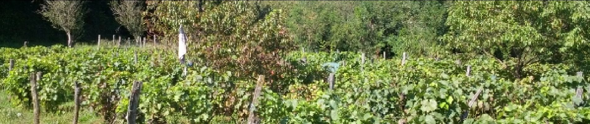
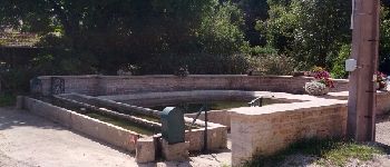
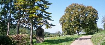
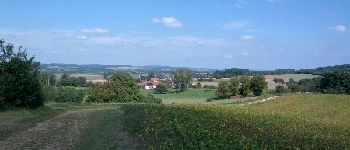
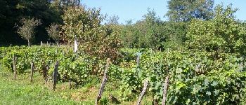
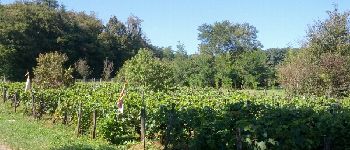
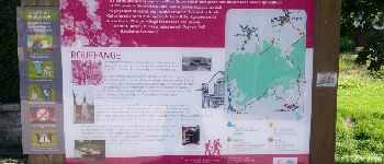
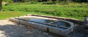
Sortie cool, ensoleillée et chaude, départ parking fontaine de Taxenne, circuit des vignes, pose quatre-heure à Rouffange et retour parking.

Elevation profile

Photos

Points of interest

Point of interest Taxenne - Point 1 - Photo
albert39
TAXENNE 
Point of interest Taxenne - Point 2 - Photo
albert39
TAXENNE 
Point of interest Vitreux - Point 3 - Photo
albert39
VITREUX 
Point of interest Rouffange - Point 4 - Photo
albert39
ROUFFANGE 
Point of interest Rouffange - Point 5 - Photo
albert39
ROUFFANGE 
Point of interest Rouffange - Point 6 - Photo
albert39
ROUFFANGE 
Point of interest Rouffange - Point 7 - Photo
albert39
ROUFFANGE 
Point of interest Rouffange - Point 8 - Photo
albert39
ROUFFANGE 

Positioning

Country:
France
Region :
Bourgogne-Franche-Comté
Department/Province :
Jura
Municipality :
Taxenne
Location:
Unknown
Start:(UTM)
702801 ; 5233492 (31T) N.

Comments

Please log in to post a review or rate the element


Super sympa !


Close
My subscriptions