


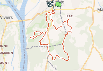

13.5 km | 18.2 km-effort

User


FREE GPS app for hiking
 SityTrail
IGN / Geographical institutes
SityTrail World
The world is yours!
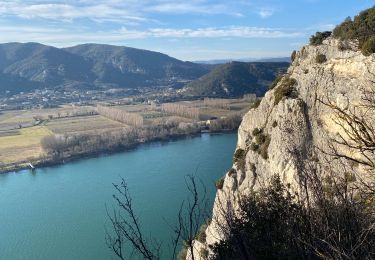
Trail Walking of 11.2 km to be discovered at Auvergne-Rhône-Alpes, Drôme, Châteauneuf-du-Rhône. This trail is proposed by chancha.
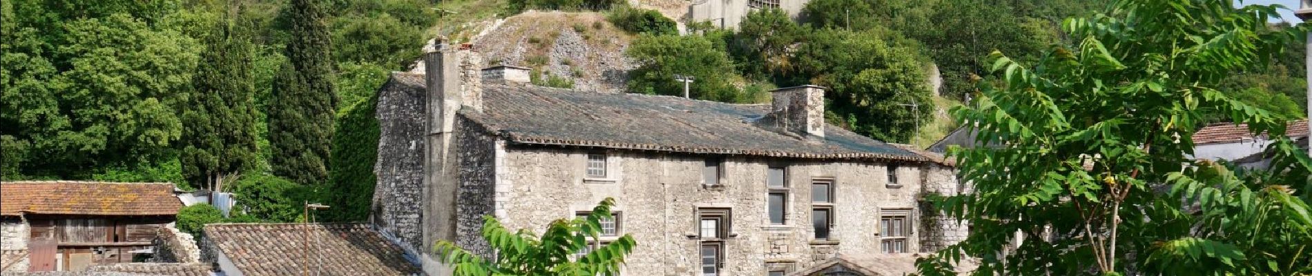
Partez sur les hauteurs du village de Châteauneuf et les ruines de son passè medieval avant de rejoindre le Navon. Ce sommet marquant la limite entre Malataverne et Châteauneuf- du- Rhône


Walking
Walking

Walking
Walking
Walking
Walking
Walking

Walking
Walking