


signal de Bassia, Plo de Berdaoulou

chasle
User

Length
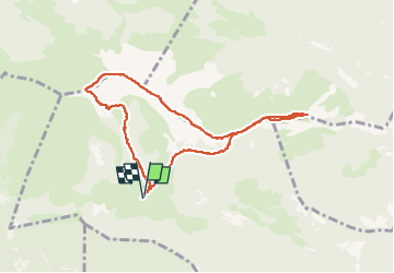
8.6 km

Max alt
1901 m

Uphill gradient
632 m
Km-Effort
17 km

Min alt
1420 m

Downhill gradient
633 m
Boucle
Yes
Creation date :
2022-10-09 07:11:54.135
Updated on :
2022-10-16 16:36:48.548
3h06
Difficulty : Medium

FREE GPS app for hiking
 SityTrail
IGN / Geographical institutes
SityTrail Plus
The world is yours!
About
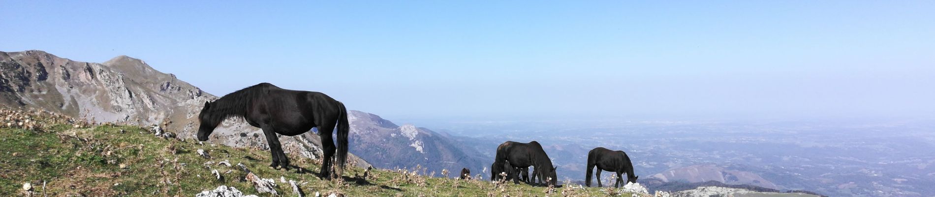
Trail Walking of 8.6 km to be discovered at Occitania, Hautespyrenees, Beyrède-Jumet-Camous. This trail is proposed by chasle.
Photos


Positioning
Country:
France
Region :
Occitania
Department/Province :
Hautespyrenees
Municipality :
Beyrède-Jumet-Camous
Location:
Beyrède-Jumet
Start:(Dec)
Start:(UTM)
280534 ; 4760214 (31T) N.
Comments