


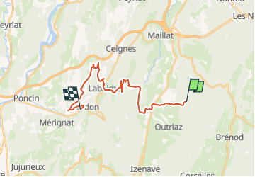


11.4 km | 16.9 km-effort


User


FREE GPS app for hiking
 SityTrail
IGN / Geographical institutes
SityTrail World
The world is yours!
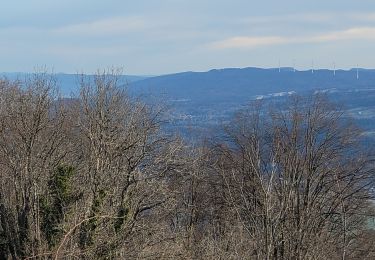
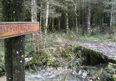
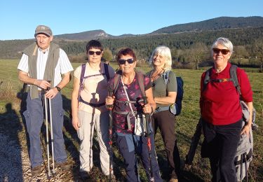
Trail Horseback riding of 22 km to be discovered at Auvergne-Rhône-Alpes, Ain, Vieu-d'Izenave. This trail is proposed by aeldin.

On foot
Walking
Walking
Walking
Walking

Mountain bike
Walking

Walking
Walking