


GR_37_CG_41_Taupont_Josselin_20221015

patrickdanilo
User

Length
21 km

Max alt
83 m

Uphill gradient
260 m
Km-Effort
25 km

Min alt
22 m

Downhill gradient
251 m
Boucle
No
Creation date :
2022-10-15 08:27:20.01
Updated on :
2022-10-15 17:06:44.078
5h18
Difficulty : Very difficult

FREE GPS app for hiking
 SityTrail
IGN / Geographical institutes
SityTrail Plus
The world is yours!
About
Trail Walking of 21 km to be discovered at Brittany, Morbihan, Taupont. This trail is proposed by patrickdanilo.
Description
Randonnée Marche de 21 km à découvrir à Bretagne, Morbihan, Taupont. Cette randonnée est proposée par patrickdanilo.
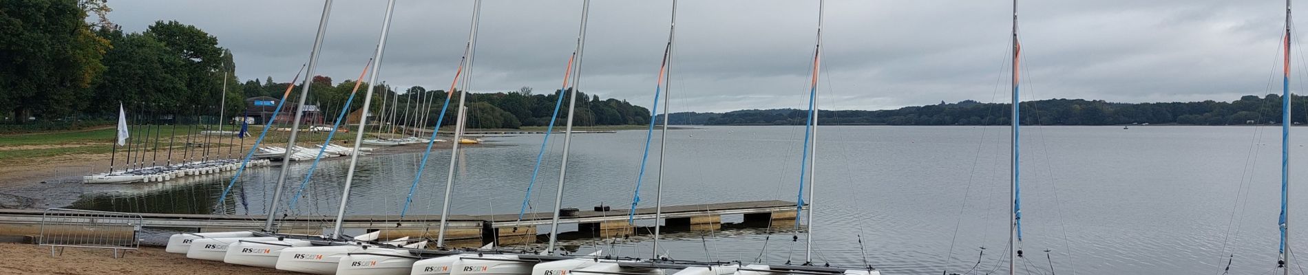
Photos


Positioning
Country:
France
Region :
Brittany
Department/Province :
Morbihan
Municipality :
Taupont
Location:
Unknown
Start:(Dec)
Start:(UTM)
543298 ; 5310797 (30T) N.
Comments