


Termes Christophe

Ada11
User GUIDE
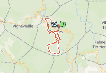

Length
15.5 km

Max alt
592 m

Uphill gradient
605 m
Km-Effort
24 km

Min alt
246 m

Downhill gradient
604 m
Boucle
Yes
Creation date :
2022-10-16 07:13:23.155
Updated on :
2022-10-16 14:56:32.539
4h23
Difficulty : Medium

FREE GPS app for hiking
 SityTrail
IGN / Geographical institutes
SityTrail Plus
The world is yours!
About
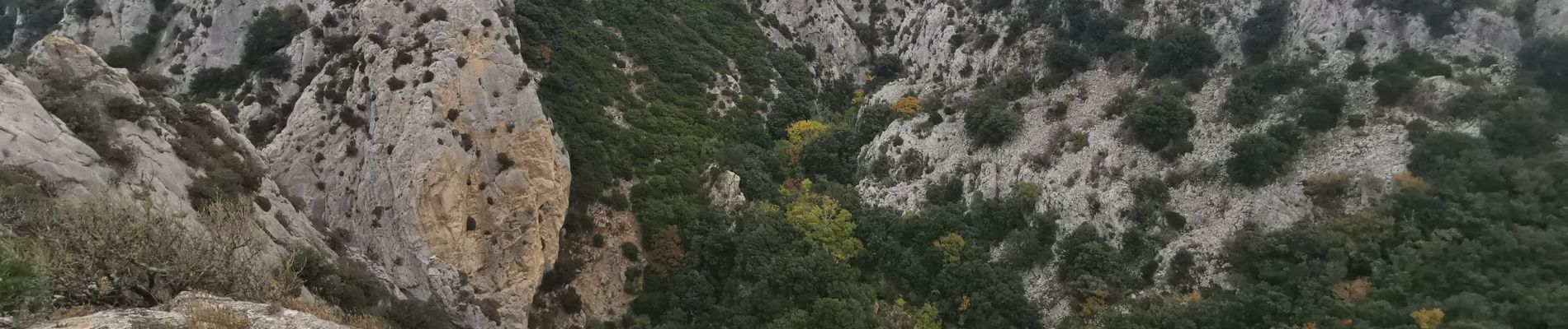
Trail Walking of 15.5 km to be discovered at Occitania, Aude, Termes. This trail is proposed by Ada11.
Photos


Positioning
Country:
France
Region :
Occitania
Department/Province :
Aude
Municipality :
Termes
Location:
Unknown
Start:(Dec)
Start:(UTM)
464573 ; 4761010 (31T) N.
Comments