


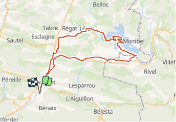

12.9 km | 21 km-effort

User


FREE GPS app for hiking
 SityTrail
IGN / Geographical institutes
SityTrail World
The world is yours!
Trail Electric bike of 40 km to be discovered at Occitania, Ariège, Lavelanet. This trail is proposed by jopost.
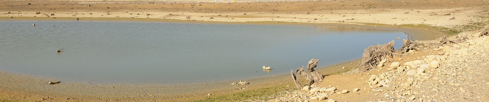
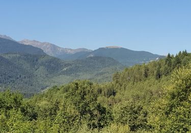
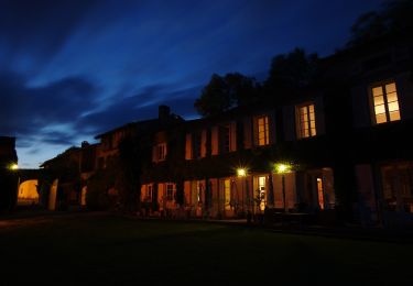
parti en vélo électrique depuis le camping Village des Bons-Hommes vers la voie verte jusqu'à Ste Colombe sur l'hers puis entrée dans le lac asséché (à pied) vers les Baillards, ancien pont immergé puis contournement de l'île jusqu'à retrouver le fond de la régate, retour par Léran vers Laroque d'Olmes puis retour par la route. superbe journée avec des paysages fantastiques


Walking
On foot

Walking
Walking

Walking

Walking

Walking

Walking
Walking