


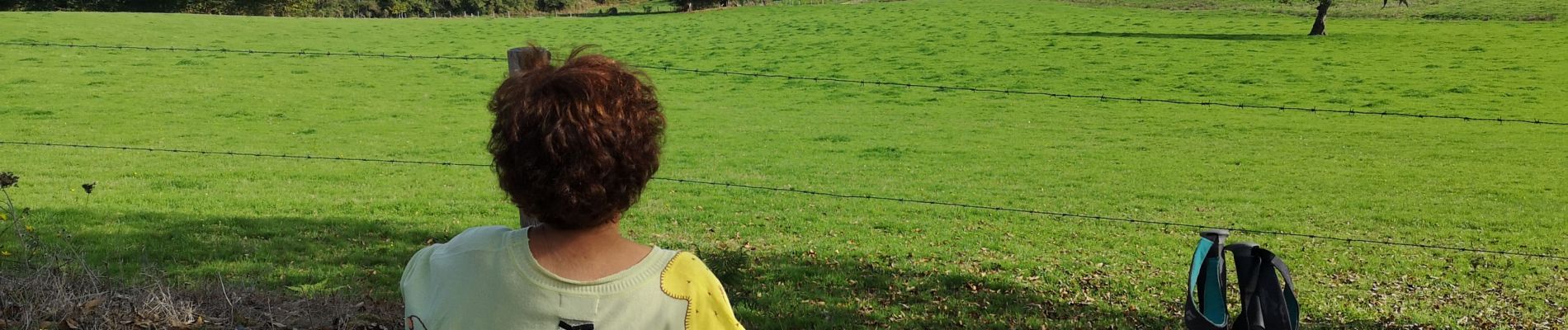
Tazilly jaune avec banc

martinjacque
User
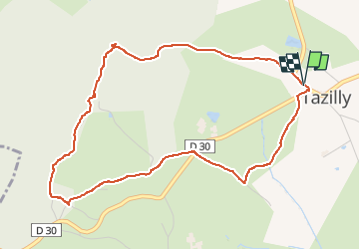

Length
5.2 km

Max alt
425 m

Uphill gradient
139 m
Km-Effort
7.1 km

Min alt
304 m

Downhill gradient
138 m
Boucle
Yes
Creation date :
2022-10-19 12:00:37.912
Updated on :
2022-10-19 14:14:47.14
2h13
Difficulty : Medium

FREE GPS app for hiking
 SityTrail
IGN / Geographical institutes
SityTrail Plus
The world is yours!
About
Trail Walking of 5.2 km to be discovered at Bourgogne-Franche-Comté, Nièvre, Tazilly. This trail is proposed by martinjacque.
Description
Très belle balade.
Photos

Positioning
Country:
France
Region :
Bourgogne-Franche-Comté
Department/Province :
Nièvre
Municipality :
Tazilly
Location:
Unknown
Start:(Dec)
Start:(UTM)
569680 ; 5179584 (31T) N.
Comments