


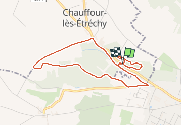
Chauffour-lès-Etréchy - Coteau des Verts Galants

guydu41
User


1h25
Difficulty : Easy

FREE GPS app for hiking
 SityTrail
IGN / Geographical institutes
SityTrail Plus
The world is yours!
About
Trail Walking of 4.4 km to be discovered at Ile-de-France, Essonne, Chauffour-lès-Étréchy. This trail is proposed by guydu41.
Description
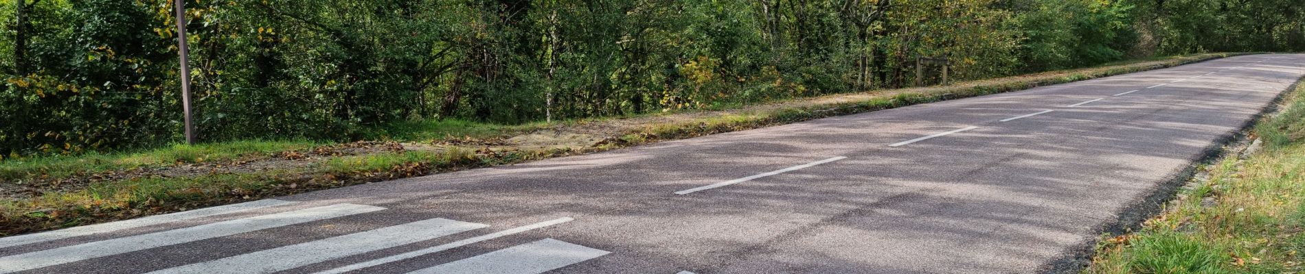
Ce petit circuit démarre du parking qui dessert le site géologique Coteau des Verts Galants sur la D148 entre Étréchy et Chauffour-lès-Étréchy.
Il commence par l'exploration du Site géologique aménagé sur les flancs d’un vaste cirque naturel comportant plusieurs niveaux avec des chemins, des sentiers, des escaliers d'accès, des plates-formes d'observation et des panneaux explicatifs.
Après la visite du site, le parcours emprunte un PR balisé jaune traversant un bois ; la Butte Boigneuse.
Note : Plusieurs points de vue sur la vallée.
Photos


42 photos in total. Please click on a photo to see them all in the gallery.
Positioning
Comments