Trail Walking Croisilles - Croisilles patrimoine - Photo

Croisilles patrimoine

© OpenStreetMap contributors
Length
Length
9 km
Max alt
Max alt
153 m
Uphill gradient
Uphill gradient
219 m
Km-Effort
Km-Effort  
11.9 km
Min alt
Min alt
26 m
Downhill gradient
Downhill gradient
219 m
Boucle
Boucle
Yes
Creation date :
2022-10-23 07:59:04.109
Updated on :
2022-10-23 10:31:42.089

(0 Reviews)

Walking
Walking
2h31
Difficulty : Medium

Scan this QR Code to open this trail in the SityTrail application

FREE GPS app for hiking

Logo SityTrail SityTrail

IGN / Geographical institutes

Download SityTrail from the App Store Download SityTrail from Google Play

Logo SityTrail SityTrail World

The world is yours!

Download SityTrail from the App Store Download SityTrail from Google Play Download SityTrail on Huawei AppGallery

About

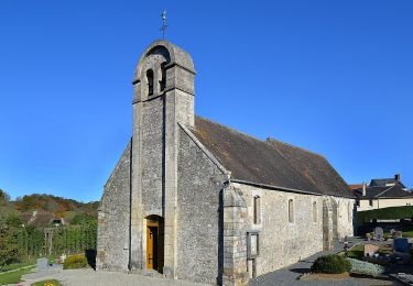
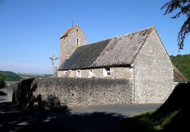
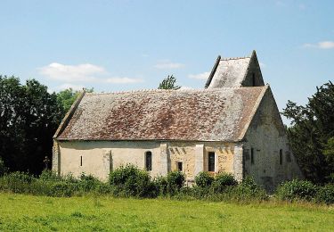
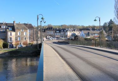
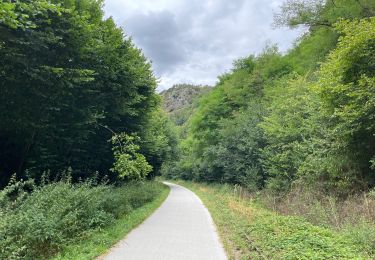
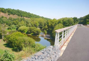
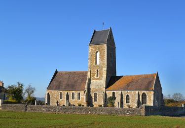
Trail Walking of 9 km to be discovered at Normandy, Calvados, Croisilles. This trail is proposed by Bridget .

Description

très joli, chaussures de randonnée et bâtons indispensables

Elevation profile

Positioning

Country:
France
Region :
Normandy
Department/Province :
Calvados
Municipality :
Croisilles
Location:
Unknown
Start:(UTM)
686059 ; 5430413 (30U) N.

Trails nearby

Trail On foot Le Hom - La Vallée de l'Orne - Photo
On foot
PRO

On foot

Medium
Le Hom, Normandy, Calvados, France
17.1 km | 23 km-effort
5h 10min
Yes
Trail On foot Espins - D'Espins au Moulin du traspy - Photo
On foot
PRO

On foot

Easy
Espins, Normandy, Calvados, France
6.9 km | 9 km-effort
2h 3min
Yes
Trail On foot Esson - La Chapelle Bonne Nouvelle - Photo
On foot
PRO

On foot

Easy
Esson, Normandy, Calvados, France
9.5 km | 13.3 km-effort
3h 1min
Yes
Trail On foot Meslay - L'Etang - Photo
On foot
PRO

On foot

Easy
Meslay, Normandy, Calvados, France
9.7 km | 11.5 km-effort
2h 37min
Yes
Trail On foot Esson - GRP Tour de la Suisse Normande - Photo
On foot
PRO

On foot

Difficult
Esson, Normandy, Calvados, France
25 km | 35 km-effort
7h 58min
No
Trail Walking Le Hom - le pont Hom (boucle) - Photo
Walking
jlesacher

Walking

Medium
(1)
Le Hom, Normandy, Calvados, France
12.1 km | 16 km-effort
2h 45min
Yes
Trail Road bike Montillières-sur-Orne - Voie verte suisse normande - Photo
Road bike
yves62410

Road bike

Easy
Montillières-sur-Orne, Normandy, Calvados, France
47 km | 53 km-effort
4h 14min
Yes
Trail On foot Grimbosq - Moulin de Pray et Pont de Brie - Photo
On foot
PRO

On foot

Easy
Grimbosq, Normandy, Calvados, France
4.3 km | 4.9 km-effort
1h 6min
No
Trail On foot Cesny-les-Sources - De Placy à la Motte - Photo
On foot
PRO

On foot

Easy
Cesny-les-Sources, Normandy, Calvados, France
7.1 km | 8.4 km-effort
1h 54min
Yes


Close
My subscriptions