


Machelles

bubuserge
User
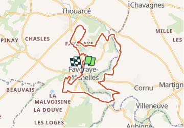

Length
19.2 km

Max alt
67 m

Uphill gradient
173 m
Km-Effort
22 km

Min alt
28 m

Downhill gradient
173 m
Boucle
Yes
Creation date :
2022-10-25 07:04:30.0
Updated on :
2022-10-25 12:04:29.013
4h11
Difficulty : Very difficult

FREE GPS app for hiking
 SityTrail
IGN / Geographical institutes
SityTrail Plus
The world is yours!
About
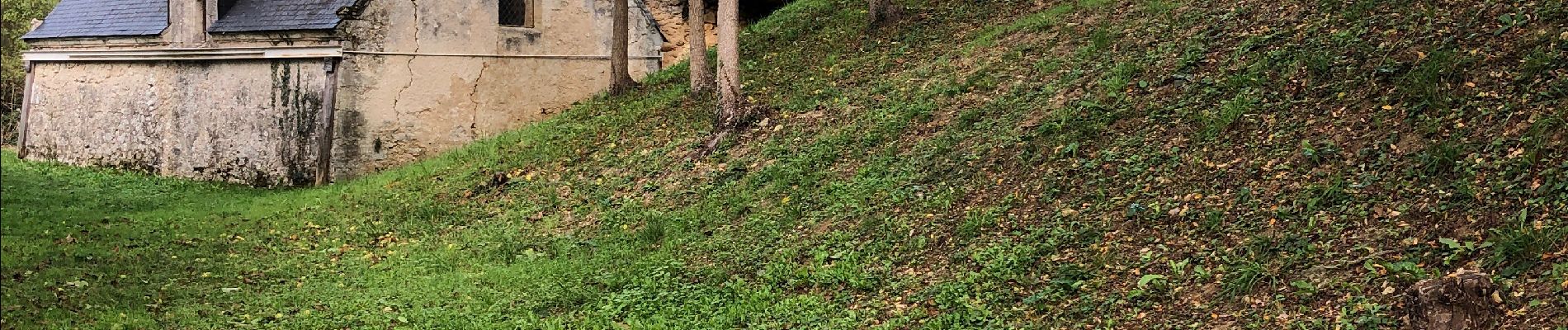
Trail Walking of 19.2 km to be discovered at Pays de la Loire, Maine-et-Loire, Bellevigne-en-Layon. This trail is proposed by bubuserge.
Photos


Positioning
Country:
France
Region :
Pays de la Loire
Department/Province :
Maine-et-Loire
Municipality :
Bellevigne-en-Layon
Location:
Unknown
Start:(Dec)
Start:(UTM)
689337 ; 5234731 (30T) N.
Comments