


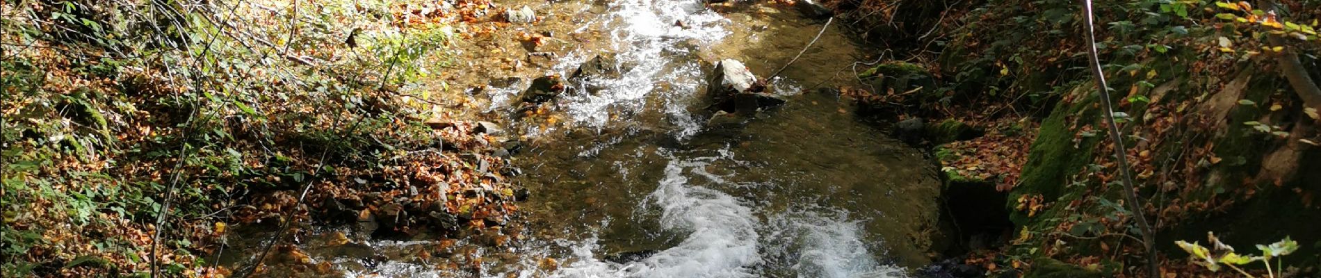
boucle auxelles-haut, super planche et étang des belles filles

fbienmuller
User
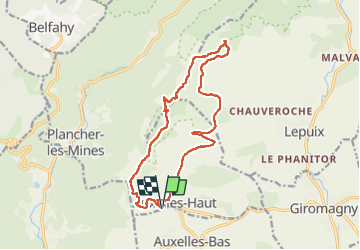

Length
15.2 km

Max alt
1145 m

Uphill gradient
623 m
Km-Effort
24 km

Min alt
584 m

Downhill gradient
624 m
Boucle
Yes
Creation date :
2022-10-27 08:19:00.379
Updated on :
2022-10-27 13:36:21.697
4h41
Difficulty : Medium

FREE GPS app for hiking
 SityTrail
IGN / Geographical institutes
SityTrail Plus
The world is yours!
About
Trail Walking of 15.2 km to be discovered at Bourgogne-Franche-Comté, Territoire-de-Belfort, Auxelles-Haut. This trail is proposed by fbienmuller.
Photos


Positioning
Country:
France
Region :
Bourgogne-Franche-Comté
Department/Province :
Territoire-de-Belfort
Municipality :
Auxelles-Haut
Location:
Unknown
Start:(Dec)
Start:(UTM)
332808 ; 5290019 (32T) N.
Comments