


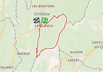

14.9 km | 22 km-effort

User


FREE GPS app for hiking
 SityTrail
IGN / Geographical institutes
SityTrail World
The world is yours!
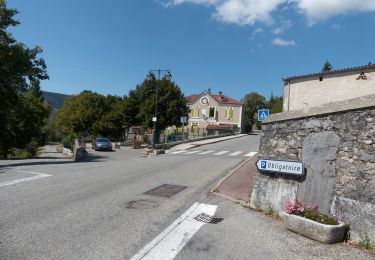
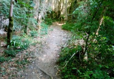
Trail Walking of 14.5 km to be discovered at Auvergne-Rhône-Alpes, Drôme, Omblèze. This trail is proposed by ajd26.
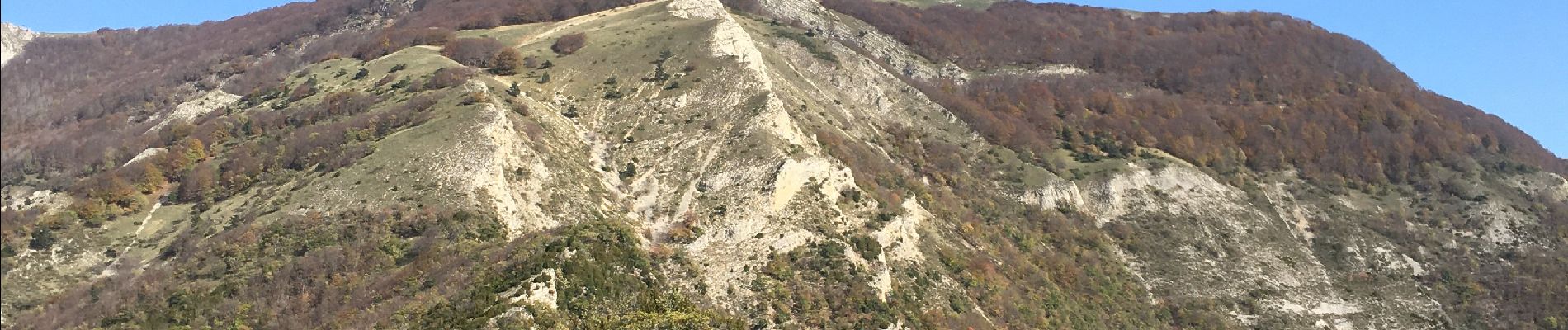
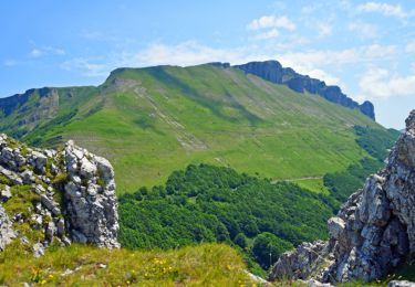
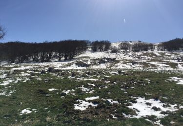
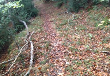
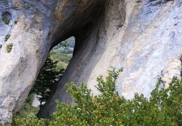
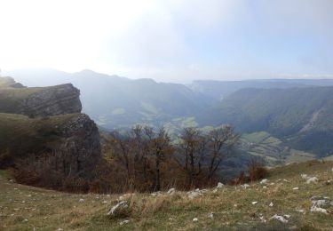
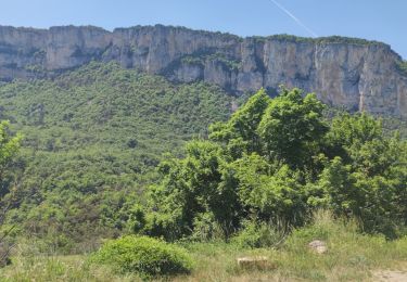
départ du hameau des Arbods vers Omblèze, montée soutenue jusqu'à la bergeris des Sarnats, traversée jusqu'au col de Pierre Rouge, ensuite on déambule sur les crêtes avec des panoramas magnifiques jusqu'au col des Ayes
possibilité de montée sur la Tète de la Dame et de retrouver le tracé en prenant le sentier en pointillé qui part du sommet (cote 1506)


Walking

Walking
Walking
Walking
Walking
Walking
Walking
Walking
Walking