


st jean de garguier

chrifor
User
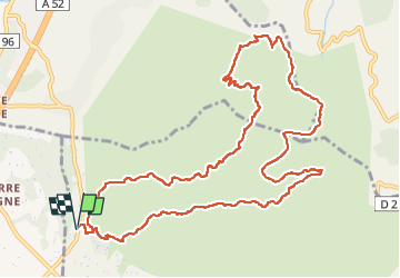

Length
14.1 km

Max alt
698 m

Uphill gradient
625 m
Km-Effort
22 km

Min alt
168 m

Downhill gradient
625 m
Boucle
Yes
Creation date :
2022-10-27 08:08:47.156
Updated on :
2022-10-27 15:49:40.8
4h51
Difficulty : Medium

FREE GPS app for hiking
 SityTrail
IGN / Geographical institutes
SityTrail Plus
The world is yours!
About
Trail Walking of 14.1 km to be discovered at Provence-Alpes-Côte d'Azur, Bouches-du-Rhône, Gémenos. This trail is proposed by chrifor.
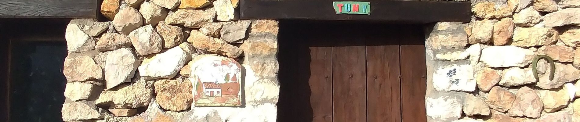
Photos


Positioning
Country:
France
Region :
Provence-Alpes-Côte d'Azur
Department/Province :
Bouches-du-Rhône
Municipality :
Gémenos
Location:
Unknown
Start:(Dec)
Start:(UTM)
711822 ; 4798932 (31T) N.
Comments