


secret2

xcreator
User
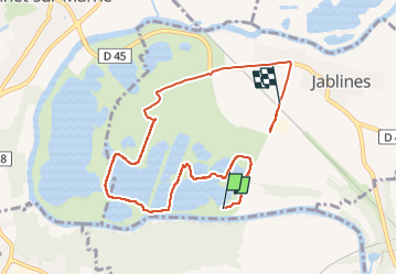

Length
7.8 km

Max alt
61 m

Uphill gradient
57 m
Km-Effort
8.5 km

Min alt
36 m

Downhill gradient
41 m
Boucle
No
Creation date :
2022-10-28 12:29:18.661
Updated on :
2022-10-28 14:07:25.662
1h18
Difficulty : Medium

FREE GPS app for hiking
 SityTrail
IGN / Geographical institutes
SityTrail Plus
The world is yours!
About
Trail Walking of 7.8 km to be discovered at Ile-de-France, Seine-et-Marne, Jablines. This trail is proposed by xcreator.
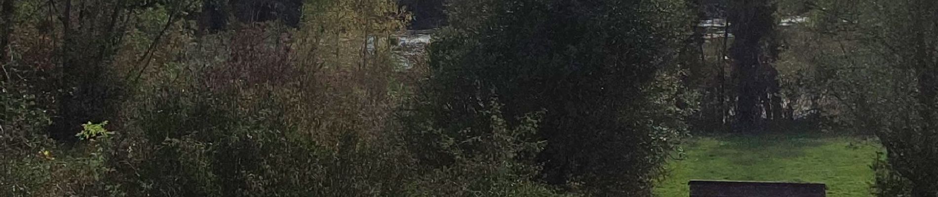
Photos


Positioning
Country:
France
Region :
Ile-de-France
Department/Province :
Seine-et-Marne
Municipality :
Jablines
Location:
Unknown
Start:(Dec)
Start:(UTM)
481409 ; 5416864 (31U) N.
Comments