


10.5 km | 14.6 km-effort

User GUIDE


FREE GPS app for hiking
 SityTrail
IGN / Geographical institutes
SityTrail World
The world is yours!
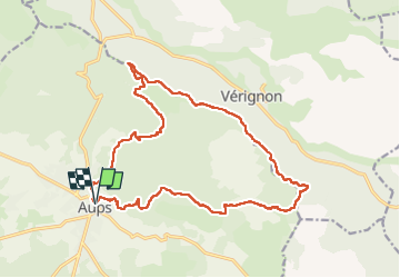
Trail Walking of 20 km to be discovered at Provence-Alpes-Côte d'Azur, Var, Aups. This trail is proposed by Kargil.
Pas de difficulté technique. Simplement une belle distance et un dénivelé honorable.
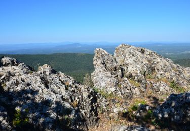
Deux tronçons caillouteux pas très agréables à la montée mais dans l'ensemble de très beaux sentiers et des vues panoramiques sur la campagne varoise.
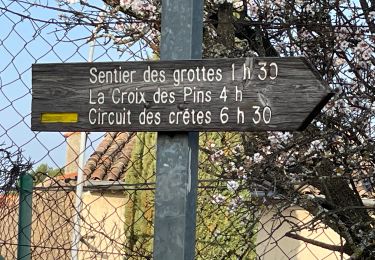
La descente après la Croix des Pins est raide mais sans danger.
Et puis ne pas rater à Aups la boulangerie Carla, 1 rue Maréchal Foch, autant pour le pain que pour la pâtisserie.


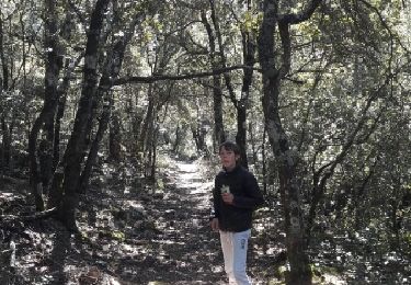
Walking
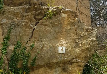
Walking
Running
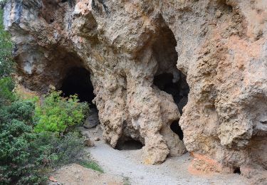
Walking
Walking
Walking
Walking
Walking