


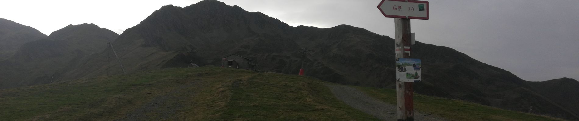
Pic de Cecire

chasle
User
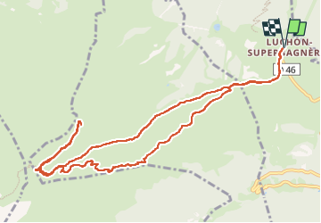

Length
13.7 km

Max alt
2384 m

Uphill gradient
801 m
Km-Effort
24 km

Min alt
1707 m

Downhill gradient
802 m
Boucle
Yes
Creation date :
2022-10-27 06:45:59.494
Updated on :
2022-10-30 18:06:50.969
4h17
Difficulty : Medium

FREE GPS app for hiking
 SityTrail
IGN / Geographical institutes
SityTrail Plus
The world is yours!
About
Trail Walking of 13.7 km to be discovered at Occitania, Haute-Garonne, Saint-Aventin. This trail is proposed by chasle.
Photos


Positioning
Country:
France
Region :
Occitania
Department/Province :
Haute-Garonne
Municipality :
Saint-Aventin
Location:
Unknown
Start:(Dec)
Start:(UTM)
301763 ; 4737926 (31T) N.
Comments