


Circuit Mont-Roland

albert39
User
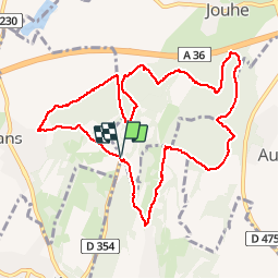

Length
11 km

Max alt
346 m

Uphill gradient
384 m
Km-Effort
16.1 km

Min alt
213 m

Downhill gradient
384 m
Boucle
Yes
Creation date :
2014-12-10 00:00:00.0
Updated on :
2014-12-10 00:00:00.0
2h09
Difficulty : Difficult

FREE GPS app for hiking
 SityTrail
IGN / Geographical institutes
SityTrail Plus
The world is yours!
About
Trail Nordic walking of 11 km to be discovered at Bourgogne-Franche-Comté, Jura, Jouhe. This trail is proposed by albert39.
Description
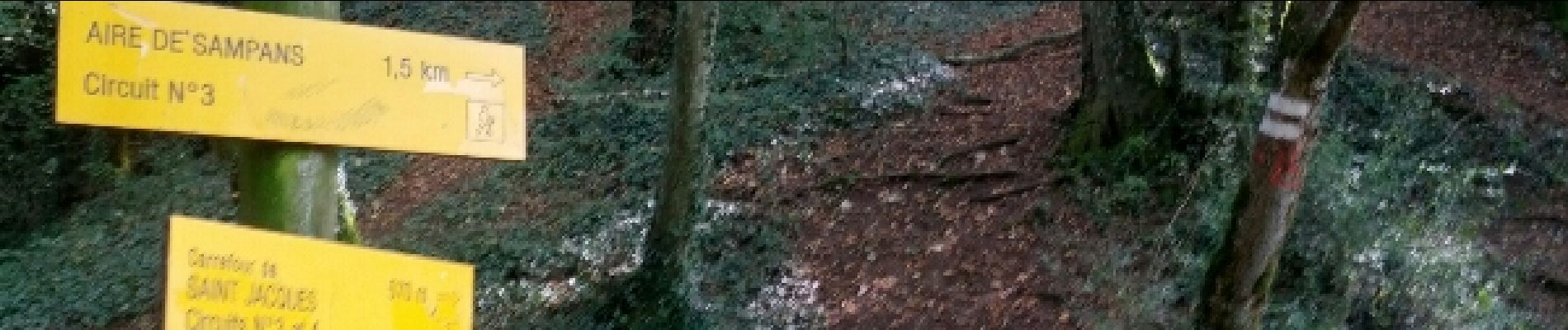
M.N. active plus bosses. (prépa saison fond.), terrain sec que du plaisir, comme des lièvres ... !!!
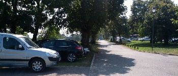
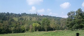
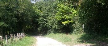
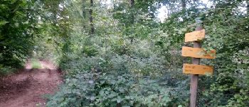
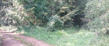
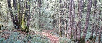
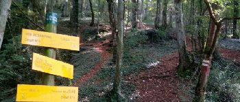
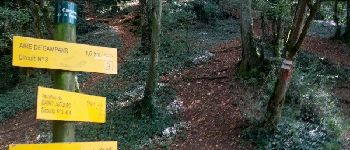
Photos


Positioning
Country:
France
Region :
Bourgogne-Franche-Comté
Department/Province :
Jura
Municipality :
Jouhe
Location:
Unknown
Start:(Dec)
Start:(UTM)
687716 ; 5221992 (31T) N.
Comments