Trail Walking Aurel - Butte de l'Aigle - Photo
 ajd26
ajd26

User

© OpenStreetMap contributors
Length
Length
13.5 km
Max alt
Max alt
1074 m
Uphill gradient
Uphill gradient
773 m
Km-Effort
Km-Effort  
24 km
Min alt
Min alt
443 m
Downhill gradient
Downhill gradient
772 m
Boucle
Boucle
Yes
Creation date :
2022-11-02 08:06:18.0
Updated on :
2022-11-03 08:52:15.788

(1 Reviews)

Walking
Walking
4h37
Difficulty : Medium

Scan this QR Code to open this trail in the SityTrail application

FREE GPS app for hiking

Logo SityTrail SityTrail

IGN / Geographical institutes

Download SityTrail from the App Store Download SityTrail from Google Play

Logo SityTrail SityTrail Plus

The world is yours!

Download SityTrail from the App Store Download SityTrail from Google Play Download SityTrail on Huawei AppGallery

About

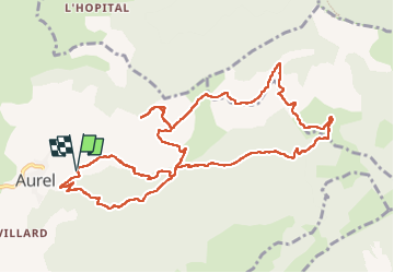
Trail Walking of 13.5 km to be discovered at Auvergne-Rhône-Alpes, Drôme, Aurel. This trail is proposed by ajd26.

Description

départ d'Aurel, le Chambon, butte de l'Aigle très beau panorama (à faire), déambulation en balcon (les Rossilenches) jusqu'à St Martin jolis panoramas tout le long qui domine le ruisseau de la Colombe
il y a de nombreux Vautours qui se posent dans la falaise
retour par le Chambon
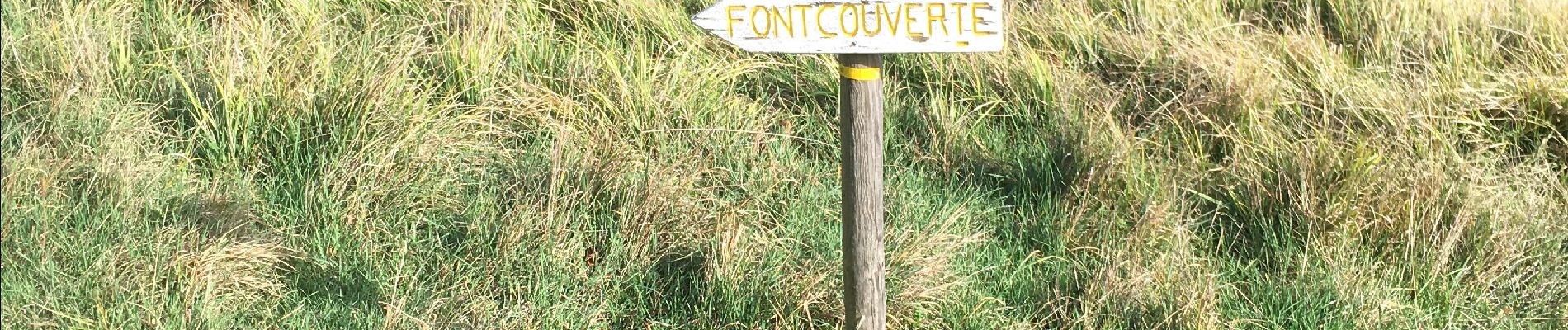
Elevation profile

Photos

Positioning

Country:
France
Region :
Auvergne-Rhône-Alpes
Department/Province :
Drôme
Municipality :
Aurel
Location:
Unknown
Start:(UTM)
682637 ; 4951773 (31T) N.

Comments

Please log in to post a review or rate the element


Close
My subscriptions