


2022 Pic de Labassere

chasle
User
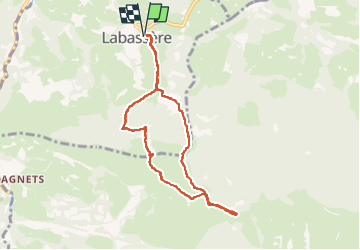

Length
9 km

Max alt
1161 m

Uphill gradient
447 m
Km-Effort
14.9 km

Min alt
783 m

Downhill gradient
447 m
Boucle
Yes
Creation date :
2022-11-03 08:15:08.923
Updated on :
2022-11-03 17:22:25.292
2h54
Difficulty : Easy

FREE GPS app for hiking
 SityTrail
IGN / Geographical institutes
SityTrail Plus
The world is yours!
About
Trail Walking of 9 km to be discovered at Occitania, Hautespyrenees, Labassère. This trail is proposed by chasle.
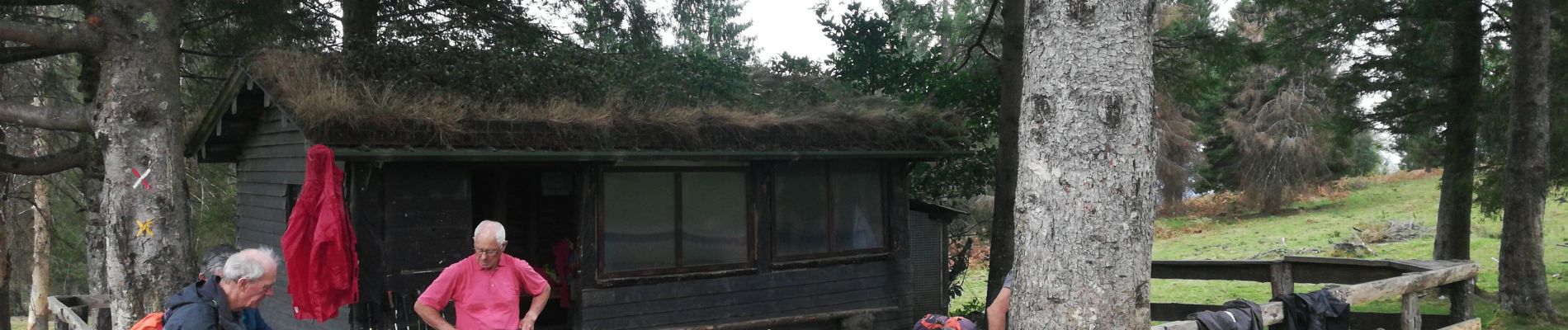
Photos


Positioning
Country:
France
Region :
Occitania
Department/Province :
Hautespyrenees
Municipality :
Labassère
Location:
Unknown
Start:(Dec)
Start:(UTM)
263532 ; 4771407 (31T) N.
Comments