


Bourg de Ste Anne et ses environs

GabyG
User GUIDE

Length
7.5 km

Max alt
50 m

Uphill gradient
107 m
Km-Effort
9 km

Min alt
3 m

Downhill gradient
109 m
Boucle
Yes
Creation date :
2022-11-06 12:10:00.415
Updated on :
2022-11-15 10:52:08.11
2h38
Difficulty : Medium

FREE GPS app for hiking
 SityTrail
IGN / Geographical institutes
SityTrail Plus
The world is yours!
About
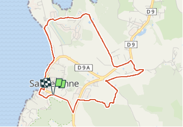
Trail Walking of 7.5 km to be discovered at Martinique, Unknown, Sainte-Anne. This trail is proposed by GabyG.
Description
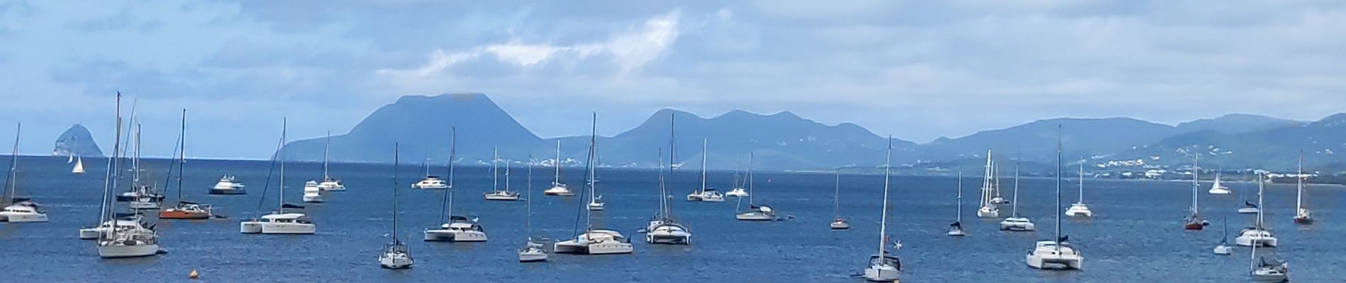
randonnée dominicale, permettant la découverte de Ste Anne sous un autre regard !
Photos


28 photos in total. Please click on a photo to see them all in the gallery.
Positioning
Country:
France
Region :
Martinique
Department/Province :
Unknown
Municipality :
Sainte-Anne
Location:
Unknown
Start:(Dec)
Start:(UTM)
728562 ; 1596657 (20P) N.
Comments