


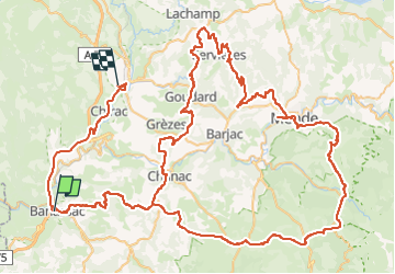

25 km | 37 km-effort


User


FREE GPS app for hiking
 SityTrail
IGN / Geographical institutes
SityTrail World
The world is yours!
Trail Moto cross of 150 km to be discovered at Occitania, Lozère, Banassac-Canilhac. This trail is proposed by Jérôme Pignol.
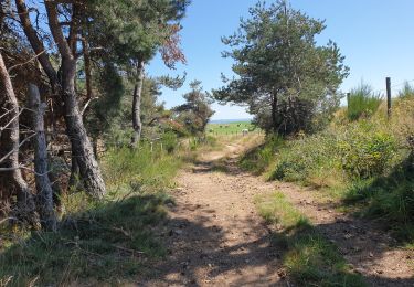
départ la canourgue. champerbous.le valdo.mende.ramonas.goudar.chanac.le gazi.

Walking

Walking

Walking
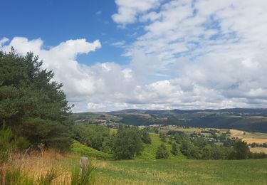
Walking
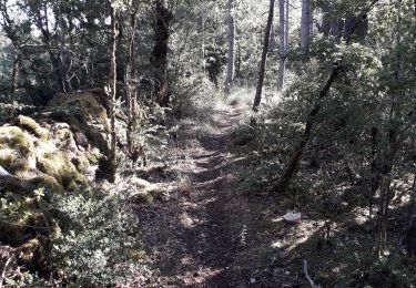
Walking

Other activity
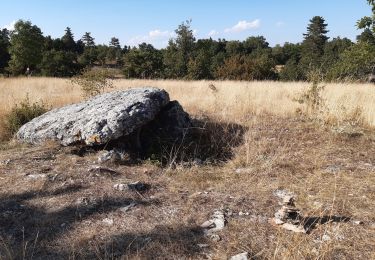
Walking

Walking
Walking