


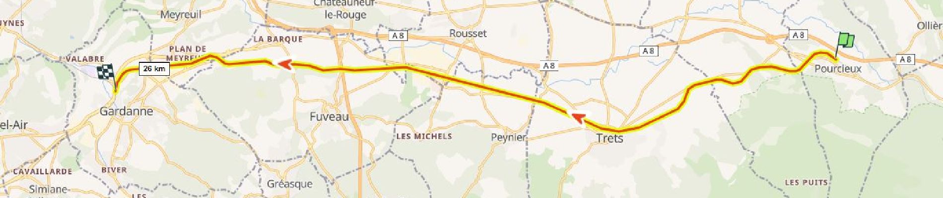
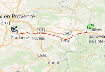
Projet de voie verte Pourcieux Trets Rousset Fuveau Gardanne

ericberlin
User


7h00
Difficulty : Easy
0m
Difficulty : Very easy
0m
Difficulty : Easy
1h30
Difficulty : Easy
0m
Difficulty : Very easy
0m
Difficulty : Very easy
0m
Difficulty : Very easy

FREE GPS app for hiking
 SityTrail
IGN / Geographical institutes
SityTrail Plus
The world is yours!
About
Trail Walking of 28 km to be discovered at Provence-Alpes-Côte d'Azur, Var, Pourcieux. This trail is proposed by ericberlin.
Description
ATTENTION ceci n'est qu'un projet d’aménagement, il n’existe pas encore !
Projet de voie verte Pourcieux Trets Peynier Rousset Fuveau Gardanne en aménageant la voie ferrée désaffectée Gardanne-Carnoules.
Celle-ci étant désormais abandonnée par la SNCF.
Quoi de mieux qu’une voie ferrée pour créer une voie verte. Pas d’expropriations requises, tous les ponts existent déjà, tracé plat !
Ce projet mettrait en sécurité les usagers pour le travail et les loisirs :
Il dessert les zones d'activités de Trets, Rousset-Peynier-Fuveau, Meyreuil et Gardanne.
Il favorise le cyclotourisme dans la vallée de l'Arc.
Si vous êtes intéressé(e) postez ici votre avis et commentaire sur ce projet ou envoyer moi un message :
eric.berlin.f@gmail.com
Ressources utiles :
https://fr.wikipedia.org/
Voie_verte
Lignes_ferroviaires_françaises_désaffectées_ou_disparues (liste)
Ligne_de_Carnoules_à_Gardanne (historique)
Ligne_d’Aubagne_à_La_Barque (ramification à partir de Fuveau, petite portion déjà transformée en voie verte)
https://www.af3v.org/
https://www.ma-voie-verte.fr/
https://www.pistes-cyclables.com/
Photos

Positioning
Comments