


Col de la Charbonnière -Château de la Roche

oscar1
User
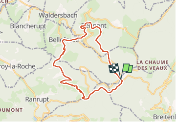

Length
16.2 km

Max alt
966 m

Uphill gradient
603 m
Km-Effort
24 km

Min alt
636 m

Downhill gradient
599 m
Boucle
Yes
Creation date :
2022-11-08 08:26:43.016
Updated on :
2022-11-16 15:23:01.61
4h20
Difficulty : Medium

FREE GPS app for hiking
 SityTrail
IGN / Geographical institutes
SityTrail Plus
The world is yours!
About
Trail Walking of 16.2 km to be discovered at Grand Est, Bas-Rhin, Breitenbach. This trail is proposed by oscar1.
Description
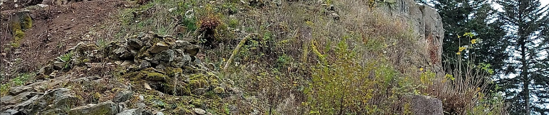
Superbes vues au Château de la Roche, puis en remontant sur Belmont
Photos


Positioning
Country:
France
Region :
Grand Est
Department/Province :
Bas-Rhin
Municipality :
Breitenbach
Location:
Unknown
Start:(Dec)
Start:(UTM)
371021 ; 5360387 (32U) N.
Comments