


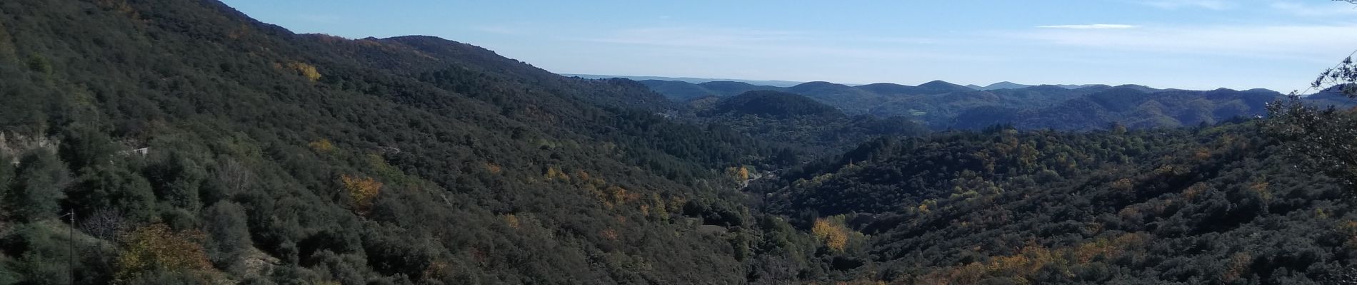
La Vallée Borgne

ARVIEU
User


Length
17.3 km

Max alt
781 m

Uphill gradient
762 m
Km-Effort
27 km

Min alt
245 m

Downhill gradient
762 m
Boucle
Yes
Creation date :
2022-11-11 06:55:13.299
Updated on :
2022-11-11 06:56:47.354
6h00
Difficulty : Difficult

FREE GPS app for hiking
 SityTrail
IGN / Geographical institutes
SityTrail Plus
The world is yours!
About
Trail Walking of 17.3 km to be discovered at Occitania, Gard, Soudorgues. This trail is proposed by ARVIEU.
Description
départ: Col du Mercou
Photos

Positioning
Country:
France
Region :
Occitania
Department/Province :
Gard
Municipality :
Soudorgues
Location:
Unknown
Start:(Dec)
Start:(UTM)
565606 ; 4880999 (31T) N.
Comments