


anguli ampus côté nord

clintest
User
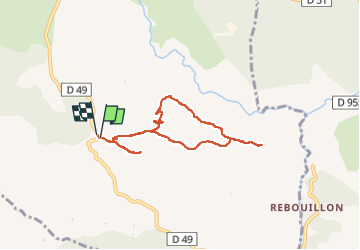

Length
7.3 km

Max alt
644 m

Uphill gradient
138 m
Km-Effort
9.1 km

Min alt
575 m

Downhill gradient
134 m
Boucle
Yes
Creation date :
2022-11-05 11:42:54.398
Updated on :
2022-11-14 16:32:27.74
2h40
Difficulty : Medium

FREE GPS app for hiking
 SityTrail
IGN / Geographical institutes
SityTrail Plus
The world is yours!
About
Trail Walking of 7.3 km to be discovered at Provence-Alpes-Côte d'Azur, Var, Ampus. This trail is proposed by clintest.
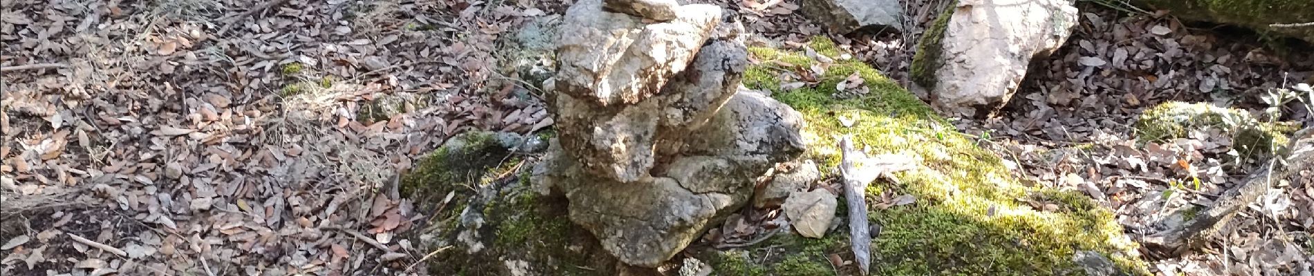
Photos


Positioning
Country:
France
Region :
Provence-Alpes-Côte d'Azur
Department/Province :
Var
Municipality :
Ampus
Location:
Unknown
Start:(Dec)
Start:(UTM)
289212 ; 4829202 (32T) N.
Comments