


monastère st Michel vers berne a revoir

clintest
User
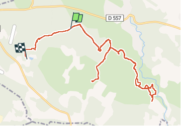

Length
14.6 km

Max alt
372 m

Uphill gradient
306 m
Km-Effort
18.6 km

Min alt
246 m

Downhill gradient
287 m
Boucle
No
Creation date :
2022-11-16 08:38:14.152
Updated on :
2022-11-16 13:22:21.916
4h43
Difficulty : Difficult

FREE GPS app for hiking
 SityTrail
IGN / Geographical institutes
SityTrail Plus
The world is yours!
About
Trail Walking of 14.6 km to be discovered at Provence-Alpes-Côte d'Azur, Var, Flayosc. This trail is proposed by clintest.
Positioning
Country:
France
Region :
Provence-Alpes-Côte d'Azur
Department/Province :
Var
Municipality :
Flayosc
Location:
Unknown
Start:(Dec)
Start:(UTM)
285074 ; 4824241 (32T) N.
Comments