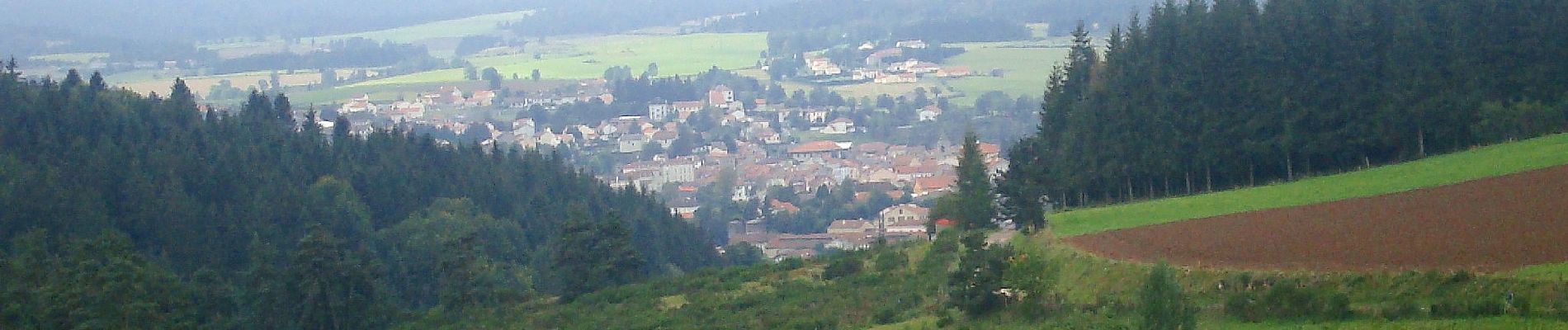
Rome-04-Pradelles-Cheylard-20140918

patrickdanilo
User
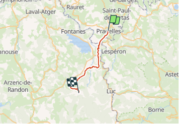

Length
22 km

Max alt
1238 m

Uphill gradient
506 m
Km-Effort
29 km

Min alt
899 m

Downhill gradient
541 m
Boucle
No
Creation date :
2018-02-10 00:00:00.0
Updated on :
2022-02-09 14:01:59.33
6h13
Difficulty : Medium

FREE GPS app for hiking
 SityTrail
IGN / Geographical institutes
SityTrail Plus
The world is yours!
About
Trail Walking of 22 km to be discovered at Auvergne-Rhône-Alpes, Haute-Loire, Pradelles. This trail is proposed by patrickdanilo.
Description
STEVENSON-04-N°0104F04-GR70
Photos


Positioning
Country:
France
Region :
Auvergne-Rhône-Alpes
Department/Province :
Haute-Loire
Municipality :
Pradelles
Location:
Unknown
Start:(Dec)
Start:(UTM)
569876 ; 4957724 (31T) N.
Comments