


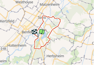


11.8 km | 12.8 km-effort

User


FREE GPS app for hiking
 SityTrail
IGN / Geographical institutes
SityTrail World
The world is yours!
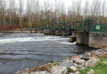
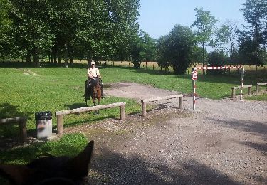
Trail Walking of 11.1 km to be discovered at Grand Est, Bas-Rhin, Benfeld. This trail is proposed by Claudele.


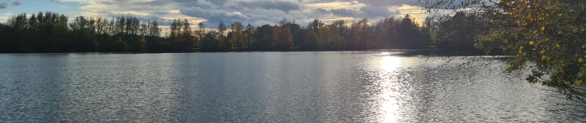
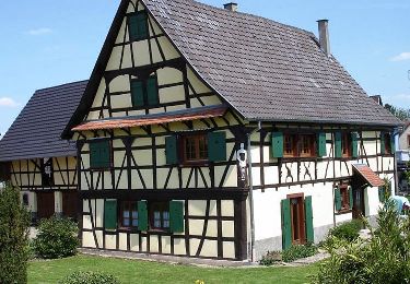
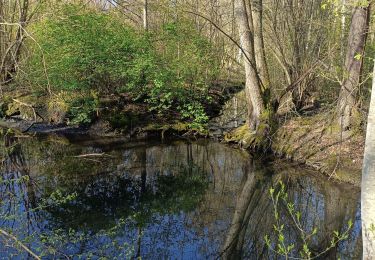
42 photos in total. Please click on a photo to see them all in the gallery.
Walking

Equestrian
Walking
Walking

Horseback riding
Equestrian
Equestrian
Equestrian

Walking