


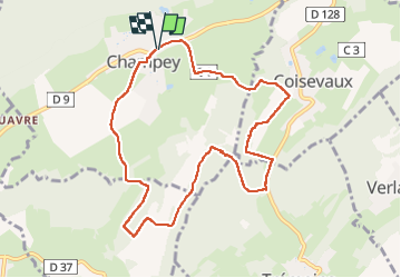
Champey Coisevaux

Danielj
User

Length
9.3 km

Max alt
462 m

Uphill gradient
241 m
Km-Effort
12.5 km

Min alt
352 m

Downhill gradient
242 m
Boucle
Yes
Creation date :
2022-11-24 12:47:16.0
Updated on :
2022-11-24 15:33:58.207
2h46
Difficulty : Difficult

FREE GPS app for hiking
 SityTrail
IGN / Geographical institutes
SityTrail Plus
The world is yours!
About
Trail Walking of 9.3 km to be discovered at Bourgogne-Franche-Comté, Haute-Saône, Champey. This trail is proposed by Danielj.
Positioning
Country:
France
Region :
Bourgogne-Franche-Comté
Department/Province :
Haute-Saône
Municipality :
Champey
Location:
Unknown
Start:(Dec)
Start:(UTM)
325768 ; 5272882 (32T) N.
Comments