


chant de tir le col du coucou

gillou1947
User
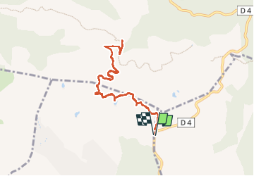

Length
9.7 km

Max alt
351 m

Uphill gradient
309 m
Km-Effort
13.8 km

Min alt
95 m

Downhill gradient
309 m
Boucle
Yes
Creation date :
2022-11-25 08:44:52.54
Updated on :
2022-11-25 11:54:34.12
3h08
Difficulty : Difficult

FREE GPS app for hiking
 SityTrail
IGN / Geographical institutes
SityTrail Plus
The world is yours!
About
Trail Walking of 9.7 km to be discovered at Provence-Alpes-Côte d'Azur, Var, Fréjus. This trail is proposed by gillou1947.
Positioning
Country:
France
Region :
Provence-Alpes-Côte d'Azur
Department/Province :
Var
Municipality :
Fréjus
Location:
Unknown
Start:(Dec)
Start:(UTM)
314504 ; 4819299 (32T) N.
Comments