


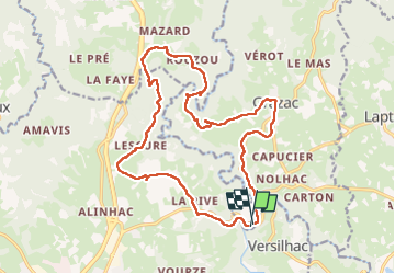

28 km | 36 km-effort


User


FREE GPS app for hiking
 SityTrail
IGN / Geographical institutes
SityTrail World
The world is yours!
Trail Walking of 19.6 km to be discovered at Auvergne-Rhône-Alpes, Haute-Loire, Grazac. This trail is proposed by Parodie69.
randonnée ripaton du vendredi


Mountain bike

Walking

Walking
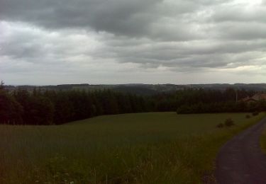
Walking
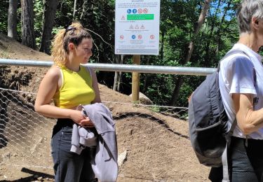
Walking
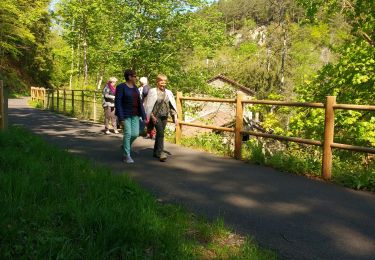
Walking

Mountain bike

Mountain bike

Mountain bike