Trail Walking Échallon - Forêt d'Echallon, de Belleydoux - Photo

Forêt d'Echallon, de Belleydoux

 HB01
HB01

User

© OpenStreetMap contributors
Length
Length
16.6 km
Max alt
Max alt
1061 m
Uphill gradient
Uphill gradient
519 m
Km-Effort
Km-Effort  
24 km
Min alt
Min alt
819 m
Downhill gradient
Downhill gradient
522 m
Boucle
Boucle
Yes
Creation date :
2022-11-27 07:37:52.711
Updated on :
2022-11-27 13:17:49.27

(0 Reviews)

Walking
Walking
4h31
Difficulty : Medium

Scan this QR Code to open this trail in the SityTrail application

FREE GPS app for hiking

Logo SityTrail SityTrail

IGN / Geographical institutes

Download SityTrail from the App Store Download SityTrail from Google Play

Logo SityTrail SityTrail World

The world is yours!

Download SityTrail from the App Store Download SityTrail from Google Play Download SityTrail on Huawei AppGallery

About

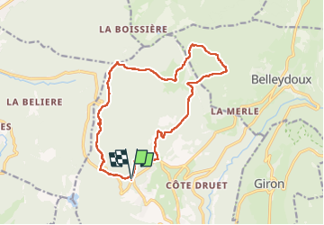
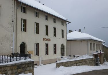
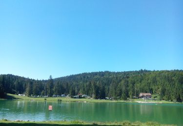
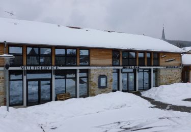
Trail Walking of 16.6 km to be discovered at Auvergne-Rhône-Alpes, Ain, Échallon. This trail is proposed by HB01.

Description

Départ carrefour routes Oyonnax  et Echallon. Passages (2 km) très boueux ce jour.

Elevation profile

Photos

Positioning

Country:
France
Region :
Auvergne-Rhône-Alpes
Department/Province :
Ain
Municipality :
Échallon
Location:
Unknown
Start:(UTM)
709776 ; 5122783 (31T) N.

Trails nearby

Trail On foot Oyonnax - Les Grottes de Lordon - Photo
On foot
PRO

On foot

Easy
Oyonnax, Auvergne-Rhône-Alpes, Ain, France
5.9 km | 10.8 km-effort
2h 27min
No
Trail Motor Charix - Tour de l'ain moto 2/4 - Photo
Motor
cub69

Motor

Difficult
(1)
Charix, Auvergne-Rhône-Alpes, Ain, France
93 km | 152 km-effort
Unknown
No
Trail Walking Échallon - prairie d'échallon belleydoux la borne aux lion des cernoises - Photo
Walking
loca.yves

Walking

Easy
Échallon, Auvergne-Rhône-Alpes, Ain, France
10.9 km | 14.5 km-effort
3h 2min
Yes
Trail Walking Giron - giron - Photo
Walking
colomb24

Walking

Easy
Giron, Auvergne-Rhône-Alpes, Ain, France
18 km | 25 km-effort
5h 23min
Yes
Trail On foot Charix - Le Tour du Plateau 6 - Photo
On foot
PRO

On foot

Medium
Charix, Auvergne-Rhône-Alpes, Ain, France
17.2 km | 24 km-effort
5h 25min
Yes
Trail On foot Apremont - Le Lac Genin - Photo
On foot
PRO

On foot

Easy
Apremont, Auvergne-Rhône-Alpes, Ain, France
9.3 km | 14.6 km-effort
3h 19min
Yes
Trail On foot Charix - Les Ruines de la Serra - Photo
On foot
PRO

On foot

Easy
Charix, Auvergne-Rhône-Alpes, Ain, France
3.4 km | 4.3 km-effort
58min
No
Trail On foot Charix - Tour de Saint-Amand - Photo
On foot
PRO

On foot

Easy
Charix, Auvergne-Rhône-Alpes, Ain, France
3.9 km | 5.4 km-effort
1h 14min
No
Trail Walking Charix - lac genin - Photo
Walking
colomb24

Walking

Very easy
Charix, Auvergne-Rhône-Alpes, Ain, France
8.4 km | 11.3 km-effort
23h 34min
Yes


Close
My subscriptions