


Wisigoths

Ada11
User GUIDE

Length
19.7 km

Max alt
258 m

Uphill gradient
314 m
Km-Effort
24 km

Min alt
135 m

Downhill gradient
312 m
Boucle
Yes
Creation date :
2022-11-27 08:02:10.273
Updated on :
2022-11-27 14:17:27.526
4h37
Difficulty : Easy

FREE GPS app for hiking
 SityTrail
IGN / Geographical institutes
SityTrail Plus
The world is yours!
About
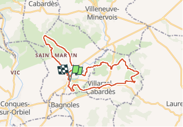
Trail Walking of 19.7 km to be discovered at Occitania, Aude, Villegly. This trail is proposed by Ada11.
Description
2e partie moins intéressante.
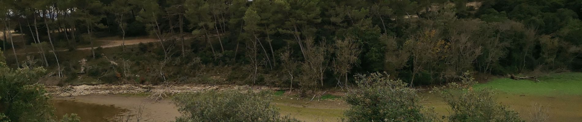
Photos


Positioning
Country:
France
Region :
Occitania
Department/Province :
Aude
Municipality :
Villegly
Location:
Unknown
Start:(Dec)
Start:(UTM)
454507 ; 4792361 (31T) N.
Comments