


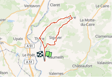
Vaumeilh(terrain} Sigoyer Melve Thèze

PatriceCocuaud
User

Length
25 km

Max alt
850 m

Uphill gradient
427 m
Km-Effort
31 km

Min alt
519 m

Downhill gradient
427 m
Boucle
Yes
Creation date :
2022-11-27 12:04:41.994
Updated on :
2022-11-27 14:26:57.657
2h21
Difficulty : Medium

FREE GPS app for hiking
 SityTrail
IGN / Geographical institutes
SityTrail Plus
The world is yours!
About
Trail Road bike of 25 km to be discovered at Provence-Alpes-Côte d'Azur, Alpes-de-Haute-Provence, Vaumeilh. This trail is proposed by PatriceCocuaud.
Positioning
Country:
France
Region :
Provence-Alpes-Côte d'Azur
Department/Province :
Alpes-de-Haute-Provence
Municipality :
Vaumeilh
Location:
Unknown
Start:(Dec)
Start:(UTM)
734022 ; 4907413 (31T) N.
Comments