


Autour de Roubia

Raymond DAVID
User
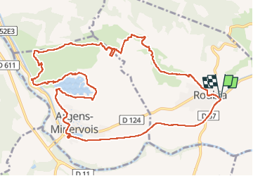

Length
14.9 km

Max alt
117 m

Uphill gradient
198 m
Km-Effort
17.5 km

Min alt
33 m

Downhill gradient
199 m
Boucle
Yes
Creation date :
2022-11-20 08:36:02.582
Updated on :
2022-11-28 09:52:11.06
4h30
Difficulty : Easy

FREE GPS app for hiking
 SityTrail
IGN / Geographical institutes
SityTrail Plus
The world is yours!
About
Trail Walking of 14.9 km to be discovered at Occitania, Aude, Roubia. This trail is proposed by Raymond DAVID .
Description
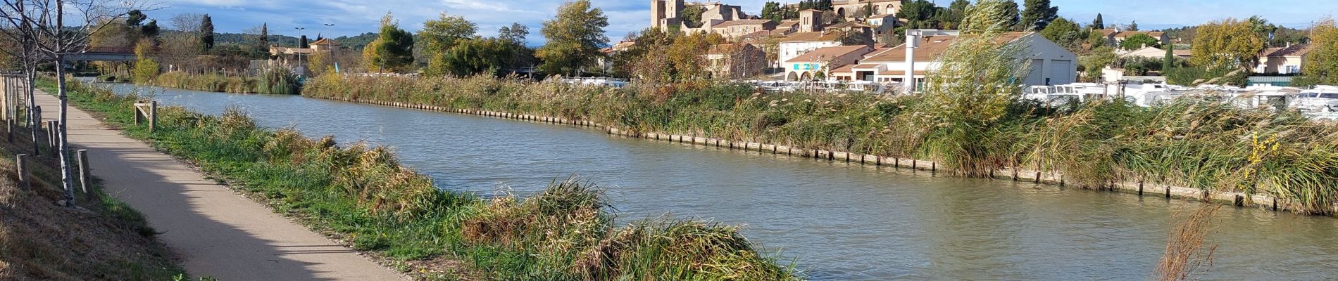
Belle randonnée, en partie balisée. Des points d'intérêt divers, en particulier le mur à abeilles et le canal.
Photos


Positioning
Country:
France
Region :
Occitania
Department/Province :
Aude
Municipality :
Roubia
Location:
Unknown
Start:(Dec)
Start:(UTM)
484028 ; 4788246 (31T) N.
Comments