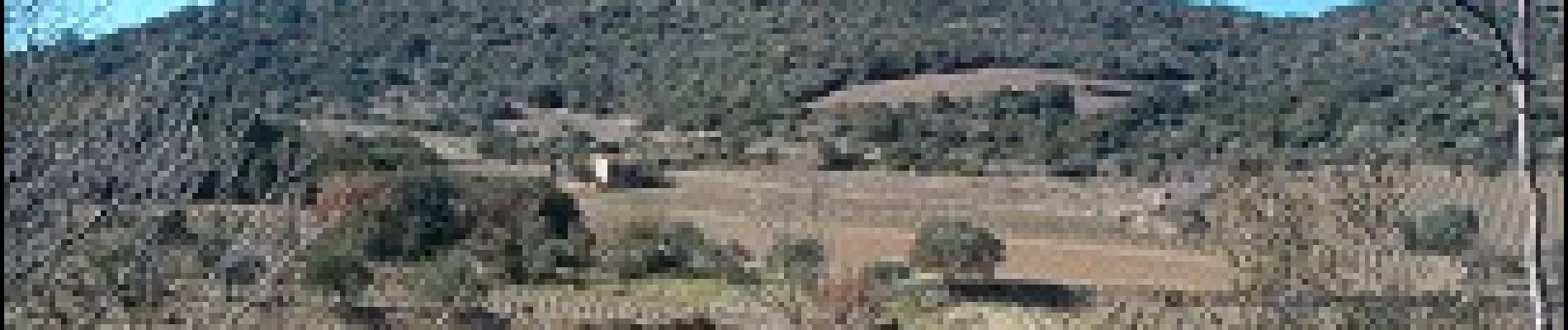
Château de Cabrières

ARVIEU
User
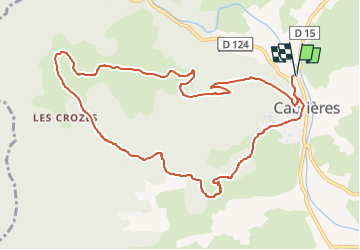

Length
11.9 km

Max alt
390 m

Uphill gradient
387 m
Km-Effort
17 km

Min alt
114 m

Downhill gradient
387 m
Boucle
Yes
Creation date :
2022-11-29 14:47:45.789
Updated on :
2022-11-29 14:49:08.988
4h30
Difficulty : Medium

FREE GPS app for hiking
 SityTrail
IGN / Geographical institutes
SityTrail Plus
The world is yours!
About
Trail Walking of 11.9 km to be discovered at Occitania, Hérault, Cabrières. This trail is proposed by ARVIEU.
Photos

Positioning
Country:
France
Region :
Occitania
Department/Province :
Hérault
Municipality :
Cabrières
Location:
Unknown
Start:(Dec)
Start:(UTM)
529232 ; 4825540 (31T) N.
Comments