


GR 10 13

chasle
User

Length
18.8 km

Max alt
2228 m

Uphill gradient
1553 m
Km-Effort
40 km

Min alt
947 m

Downhill gradient
1777 m
Boucle
No
Creation date :
2022-11-29 19:19:40.364
Updated on :
2022-11-29 19:21:36.743
9h08
Difficulty : Difficult

FREE GPS app for hiking
 SityTrail
IGN / Geographical institutes
SityTrail Plus
The world is yours!
About
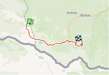
Trail Walking of 18.8 km to be discovered at Occitania, Haute-Garonne, Melles. This trail is proposed by chasle.
Positioning
Country:
France
Region :
Occitania
Department/Province :
Haute-Garonne
Municipality :
Melles
Location:
Unknown
Start:(Dec)
Start:(UTM)
323508 ; 4746915 (31T) N.
Comments